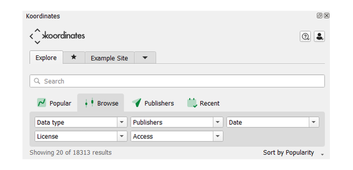
Including Koordinates datasets to QGIS projects
There are two ways to include Koordinates data into your QGIS project.
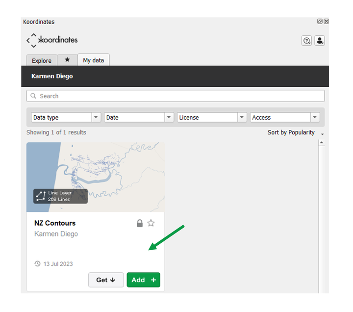
Add
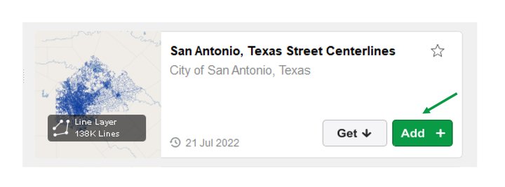
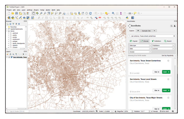
Once you’ve searched and located the dataset that you want included, select the Add + button. The dataset will be added to your current QGIS project.
Note: Regardless of the dataset type, it will be added to the project as a Web Map Tile Service (WMTS), which can be considered as similar functionality as a raster layer.
Projection
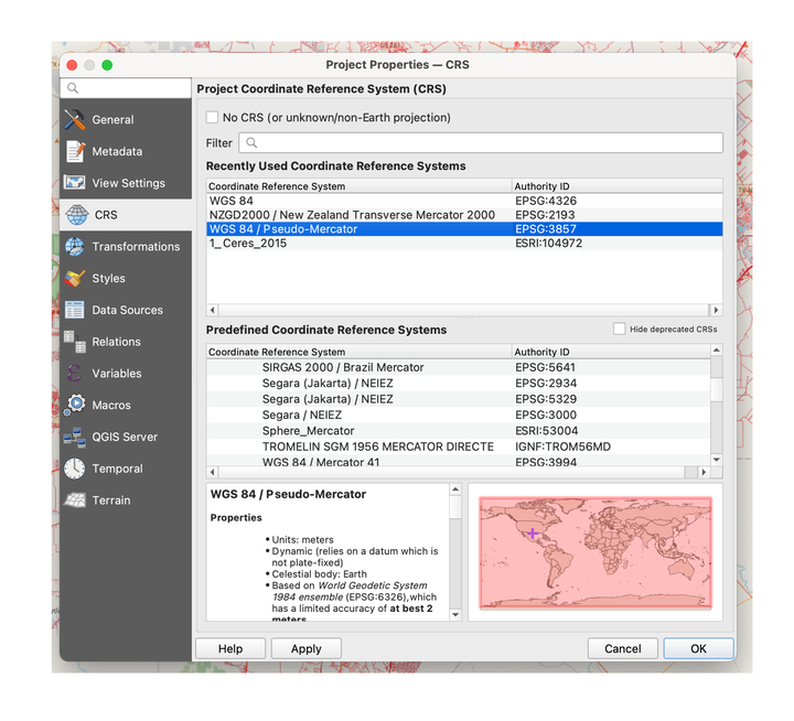
By default the data will be added in WGS 84 Pseudo-Mercator EPSG:3857, although you can alter this as required to suit your projects requirement.
Clone
Cloning a layer creates a local copy of the dataset onto your PC, to be added to the project.
Note: Cloning is currently only available for the following data types:
- vector
- point cloud
Raster and grid data types will be available in the future.
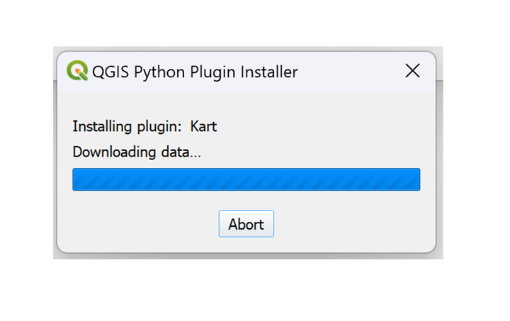
To ensure you have the latest data, it is recommended that you utilise the Kart plugin.
Unlike Adding data, this data will retain the data type, and will be as interactable as it is within Koordinates.
When the dataset allows, you'll be able to interrogate the data, view the underlying table and attributes, and conduct calculations.
To clone a dataset
1. Search and locate the dataset in the Koordinates plugin
2. Select 'Get'
Kart dependency
Cloning requires your account to have Kart functionality enabled.
If your account doesn’t have Kart, when you first attempt to clone, you’ll receive this message.
1. Select Request access
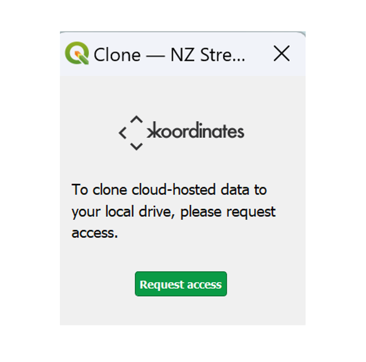
Your browser will navigate to the Kart access request page.
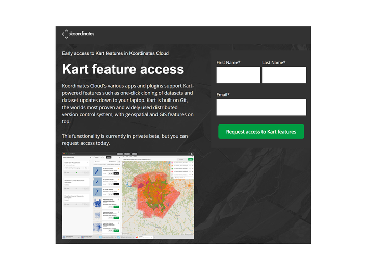
Provide your name and email address associated with your account, and within a few hours (depending on sync period) Kart functionality will be enabled, and you’ll be able to clone.
3. Return to QGIS and clone
The clone settings window will open where you can set:
Where the data is cloned to
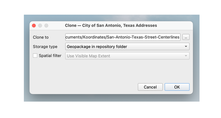
the storage type
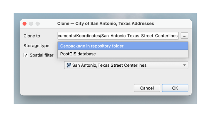
Whether to set a spatial filter or not

4. QGIS will clone the dataset
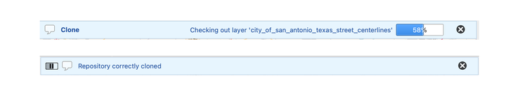
The dataset will appear in the QGIS browser.
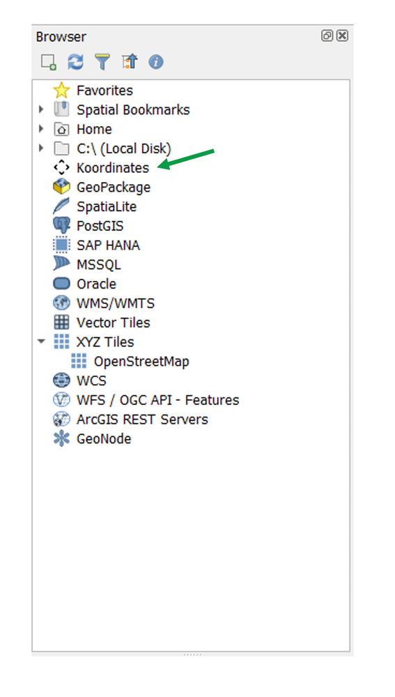
Regardless of where the data is cloned to, it can be accessed via the Koordinates QGIS Browser folder shortcut.
5. Select the dataset, then the layer you want to include in your project
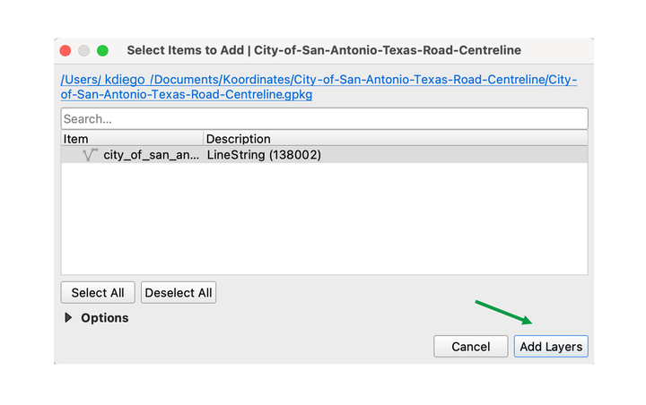
The layer will be added, and can be viewed, queried or used in analysis.