Export data in PDF
The process for exporting data in PDF is the same as other data formats, though contains a few additional options.
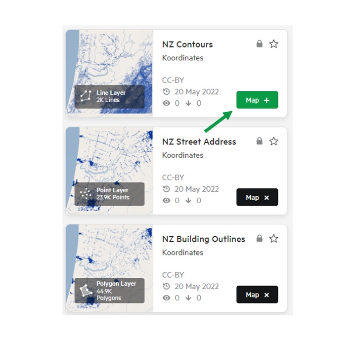
1. Add your chosen data to your map by clicking 'Map +'
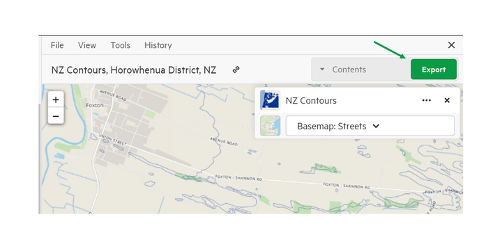
2. Click Export
3. Select PDF from the export screen
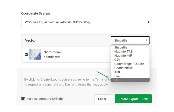
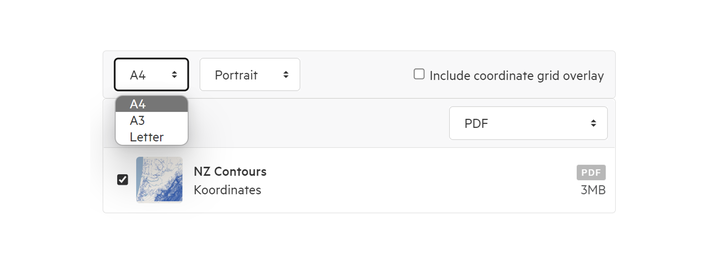
4. Choose your specifications
In the download page, you have the option of deciding:
- Page orientation
- Page size
- Whether or not you wish to include the coordinate grid overlay (otherwise known as the graticule)
5. Click Export
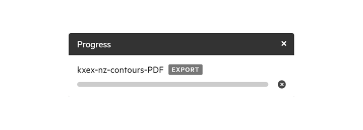
6. Track the progress of your export in the top right of the screen