Find and use OGC web services
For more technical users, Koordinates offers a range of web services. A web service enables to you to easily get data published on Koordinates sites into your application.
A web service also ensures that you don’t have to manually download and import data on a regular basis to maintain up-to-date data.
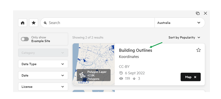
1. Navigate to your chosen data layer
Click on the thumbnail or title of your chosen data layer.
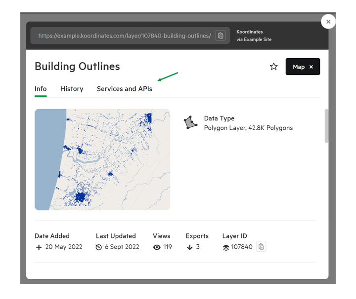
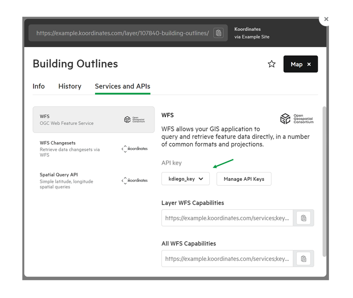
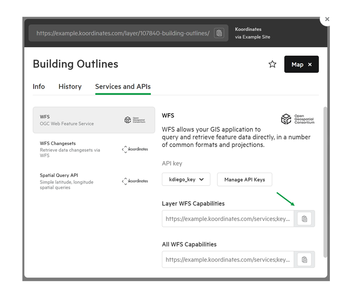
2. Select Services and API
From the About page for that data layer, navigate to the Services tab. You will then be provided with a list of web services for that data layer.
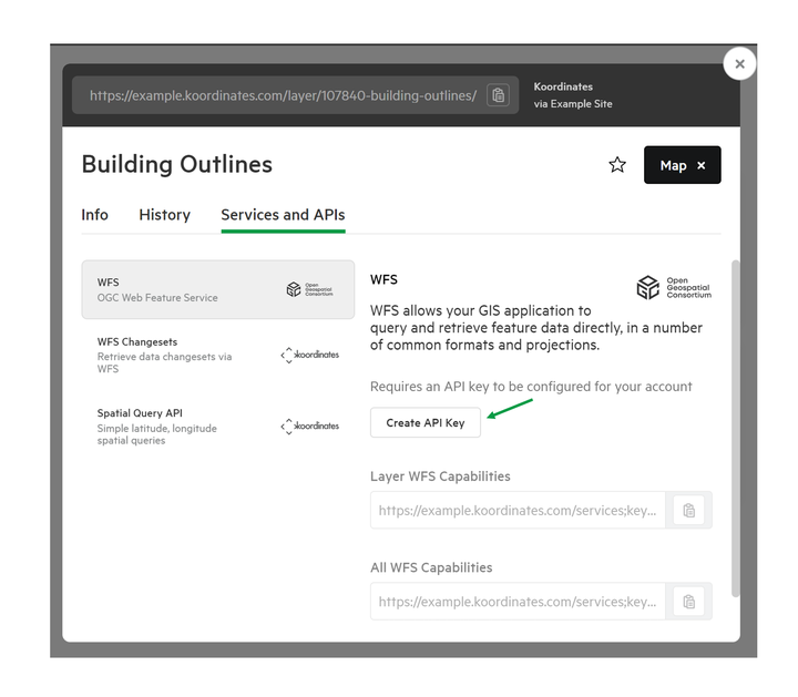
3. Create or Assign your key (if required)
You may be asked to create a key to access web services. The key simply lets external applications, such as your GIS, access your account without you having to provide your password.
Click the link provided to create your key.
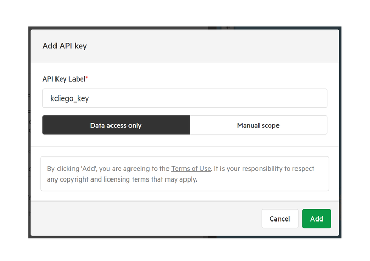
Once created, assign the appropriate key.
4. Enter the URL
Finally, copy and paste the URL from your chosen data layer into your application.
Note that some web services will be rate limited.
All APISs supported on Koordinates
Esri-Compatible REST Services
This is a popular way to programmatically access and use data within an Esri environment. Esri REST is commonly used as a data interchange standard in the GIS sector, including for visualisation, geoprocessing tasks and desktop GIS data access. These web services allow users to extract vector and tabular data layers from a Koordinates site.
WFS Web Services
Koordinates supports WFS 1.x and WFS 2.x OGC web services. These web services are commonly used as data interchange standards in the GIS sector, including for geoprocessing tasks and desktop GIS data access. These web services allow for users to extract vector and tabular data layers from a Koordinates site.
WFS Changesets
Koordinates provides support for a WFS Changeset Service which gives access via WFS 1.x and WFS 2.x to data updates between dates for a particular ‘versioned’ vector layer or tabular data layer. This allows applications to update local copies of data layers on an ongoing incremental basis, and is particular useful for users of data layers that are regularly updated.
OGC Catalogue Service for Web
Koordinates supports the OGC Catalogue Service for Web (CSW) web service. This is a common open standard for federating XML metadata information between different data catalogues.
XYZ and OGC Web Map Tiling Services (WMTS)
Koordinates provides XYZ and OGC Web Map Tiling Services (WMTS). Tile services can be administered by Data Administrators and published in NZTM and Web Mercator for compatibility with common New Zealand professional GIS uses and Google Maps-style interactive maps.
For vector data layers, and sets of vector data layers, administrators can use the web interface to define one or more complex cartographic styles. These can be published as separate tile services for use in external desktop applications, websites and mobile applications.