Get Started
Account and Support
File Formats and Data Types
Find and Export Data
Alter the transparency of added data
Appraise and download metadata
Crop data layers by box
Export data in PDF
Export versioned data using a changeset
Find & export multiple data layers
Find data using the search bar
Finding license information
Image distortion
Learn more about a dataset
Learn more about the history of a dataset
Learn more about the map
Overview of download limits
Query the map
The export page
The extra files in your raster download
The .txt file in your export
Understanding projections
Add a raster layer into QGIS
Find & export Point Cloud data layers
Find data by Publisher
Using the Tile Table
Requesting access to restricted data
Request data via Courier
Customising Export files
Explore with Data Table
Esri REST Services, Query API and Web Services
Import Data
Manage Your Site
Plugins
Publish Data
Site Admin APIs
Update Data
Users and Groups
Desktop App
Frequently Asked Questions
- Home
- Find and Export Data
- Export data in PDF
Export data in PDF
The process for exporting data in PDF is the same as other data formats, though contains a few additional options.
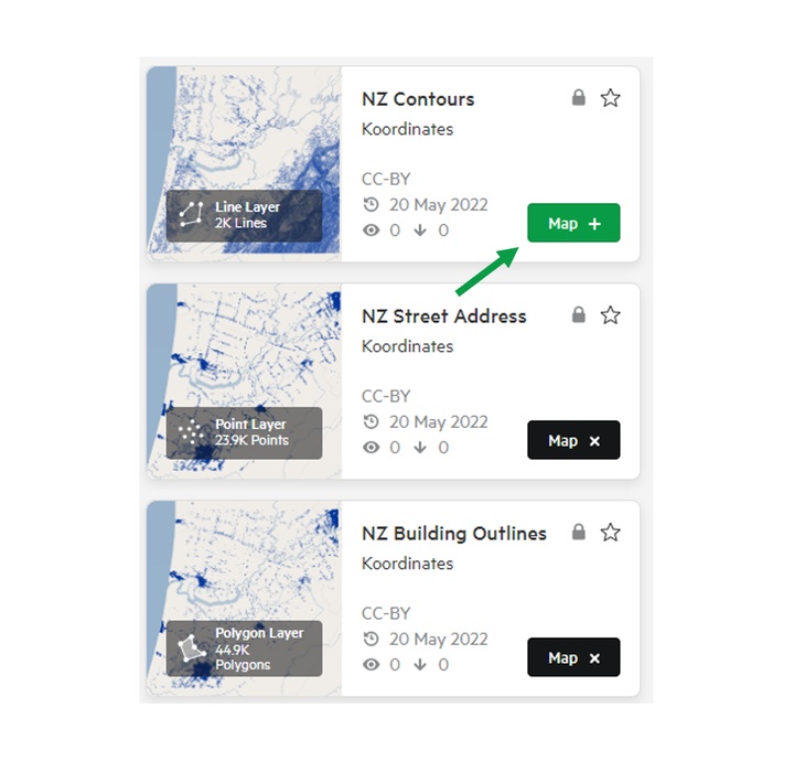
1. Add your chosen data to your map by clicking 'Map +'
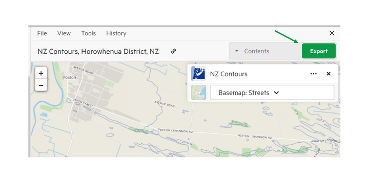
2. Click Export
3. Select PDF from the export screen
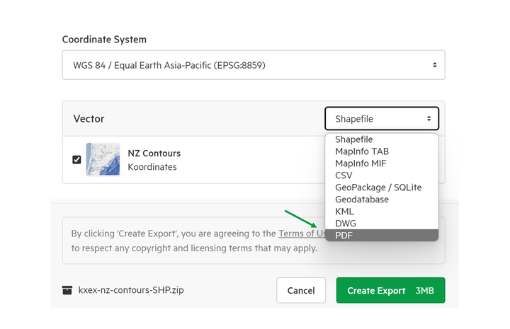
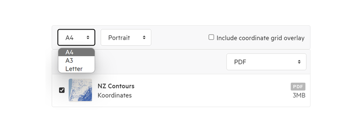
4. Choose your specifications
In the download page, you have the option of deciding:
- Page orientation
- Page size
- Whether or not you wish to include the coordinate grid overlay (otherwise known as the graticule)
5. Click Export
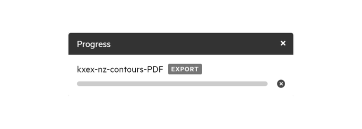
6. Track the progress of your export in the top right of the screen
