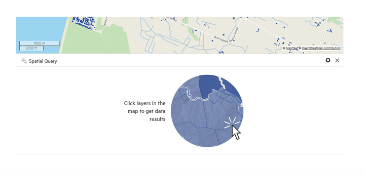
Query the map
1. Add a data layer to your map
Prior to querying your data, you will need to add it by clicking 'Map +.'
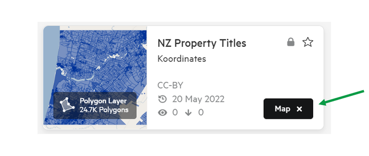
2. Open the Spatial Query window
There are two ways to open the Spatial Query window.
a) In the Tool menu, select Spatial Query window.
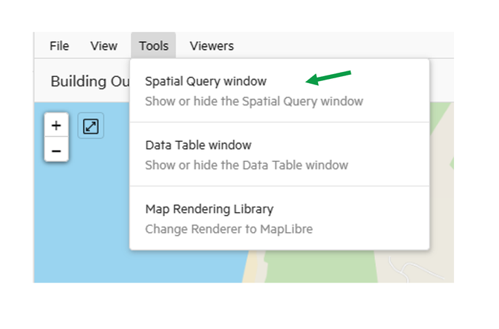
The Spatial Query window will open, with no data selected.
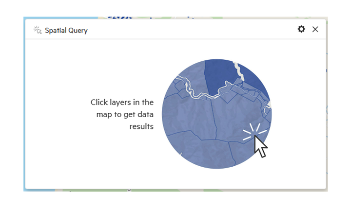
b) Alternatively, select any point on the Map Viewer, and the Spatial Query window will automatically appear.
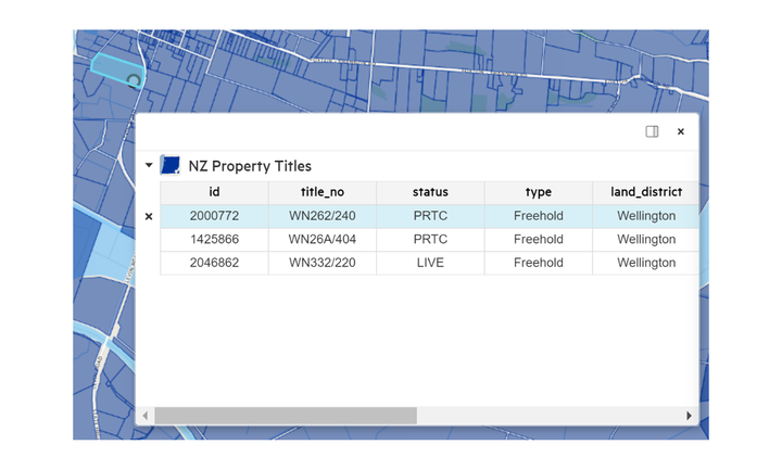
Click any point on the map to query the values associated with that point. The values will be presented in a small pop-up window. Details in this pop-up table will differ depending on your data type.
3. Toggle between added data layers
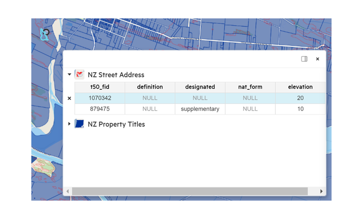
The pop-up window enables you to check the values for all added data layers.
On the left hand side of this pop-up window, you will see a list of the datasets you have added to the map. If you click on one of these datasets, you can view data values for that layer for that specific location on the map.
4. Dock query window in Map Viewer
With the query window open, click on the settings tog, and select 'Dock window'.
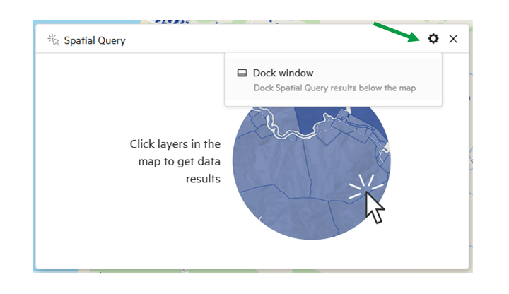
This will dock the window underneath the Map Viewer.
