Create a set of multiple data items
If you have uploaded multiple data items to Koordinates, you can arrange them into sets. A set is a collection of data layers and tables that can be viewed and downloaded at one time.
You can use sets to enable users to access datasets that are commonly grouped together. The benefit of a set is that it allows users to add and download these datasets in one go, instead of having to add them individually.
Sets can also be queried using the Koordinates Set Query API. Read documentation for the Koordinates Set Query API here.
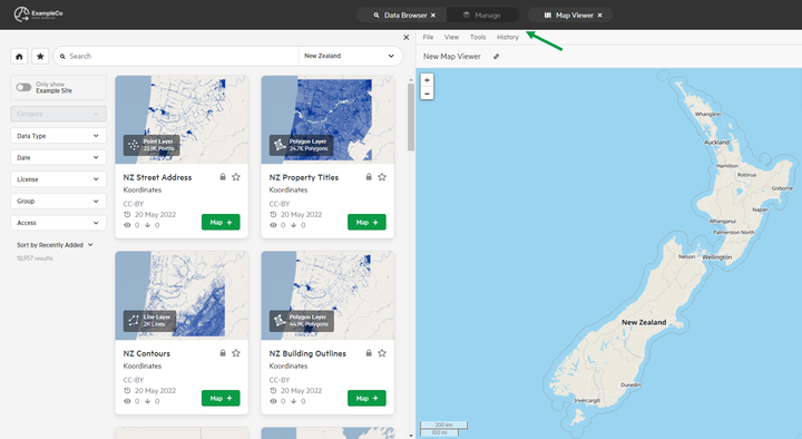
1. Select 'Manage' from the top menu
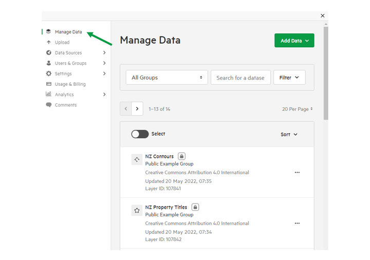
2. Click 'Manage Data'
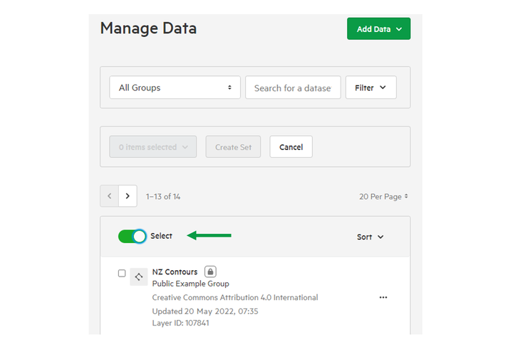
3. Click the 'Select' toggle
This will allow you to select data items — such as geospatial layers and tables — to your new set.
Alternatively, click the 'Create Set' option under the 'Add Data' dropdown in the top-right.
4. Select the data items you want to add to your set.
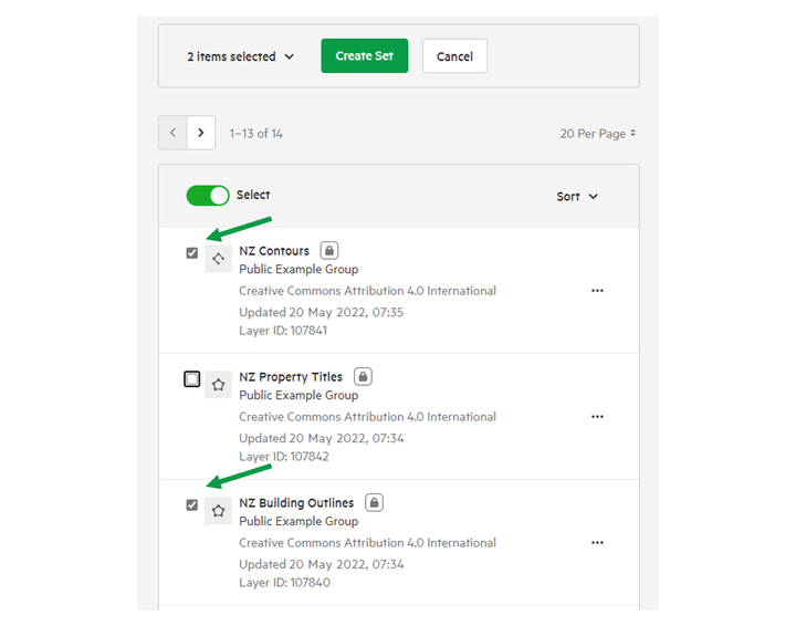
5. Click 'Create Set'
This will create a draft set, which you can edit before making 'live.'

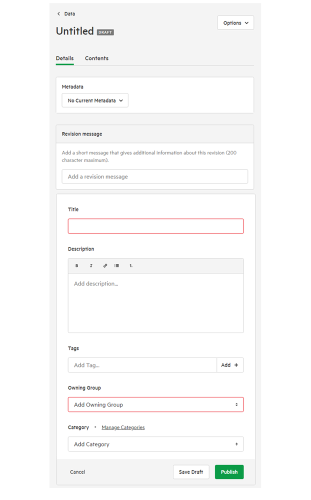
6. Edit set details
As with other data items like individual geospatial layers and tables, you'll be given the option of providing:
- Title
- Description
- Tags
- Owning Group
- Category
- Metadata
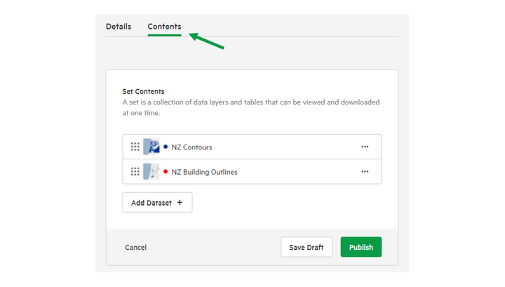
7. Click the 'Contents' tab to manage items in your set.
The Contents tab allows you to:
- Add new items
- Remove items from set
- Re-order items.
This is particularly important for raster layers that may have overlapping extents.
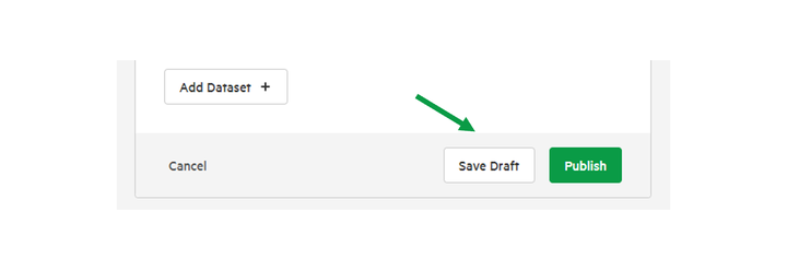
8. Click 'Save Draft' or 'Publish' to save changes
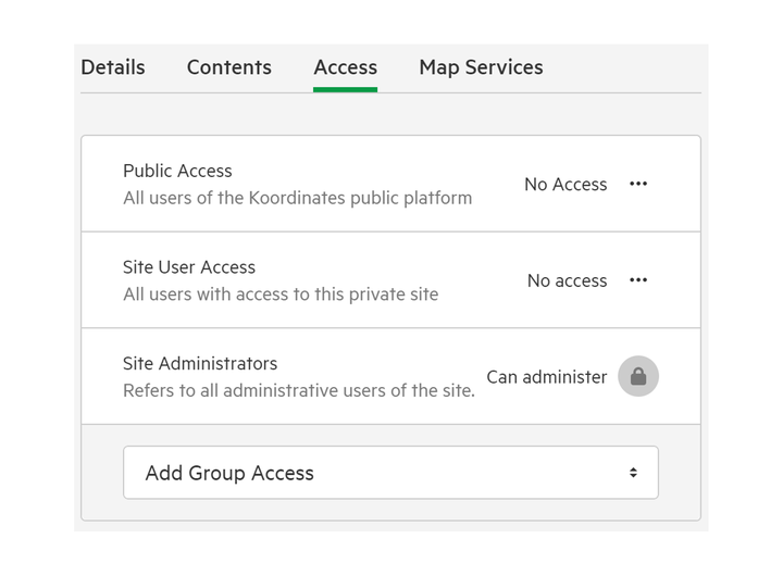
9. Click 'Access' tab to manage set permissions
You can read more about set permissions here.
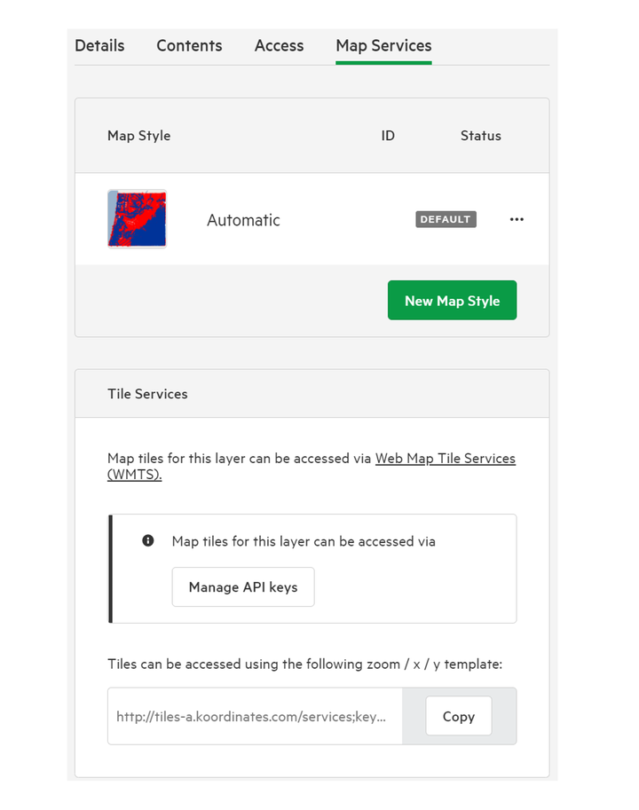
10. Click 'Map Services' tab to manage Map Style & Tile Services
You can read more about altering Map Styles here,. Map tiles can be managed by API keys.
