
Edit descriptive information of a layer
-
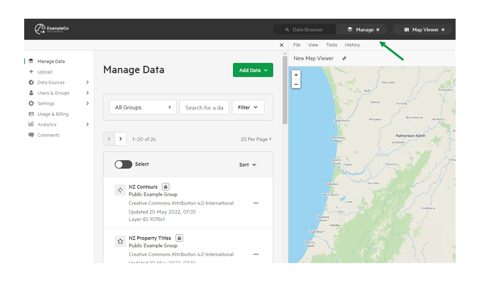
Select ‘Manage’ from the top menu
-
Find and open the dataset
Search for the dataset in the Datasets tab, then select it. The dataset opens on its Details tab.
-
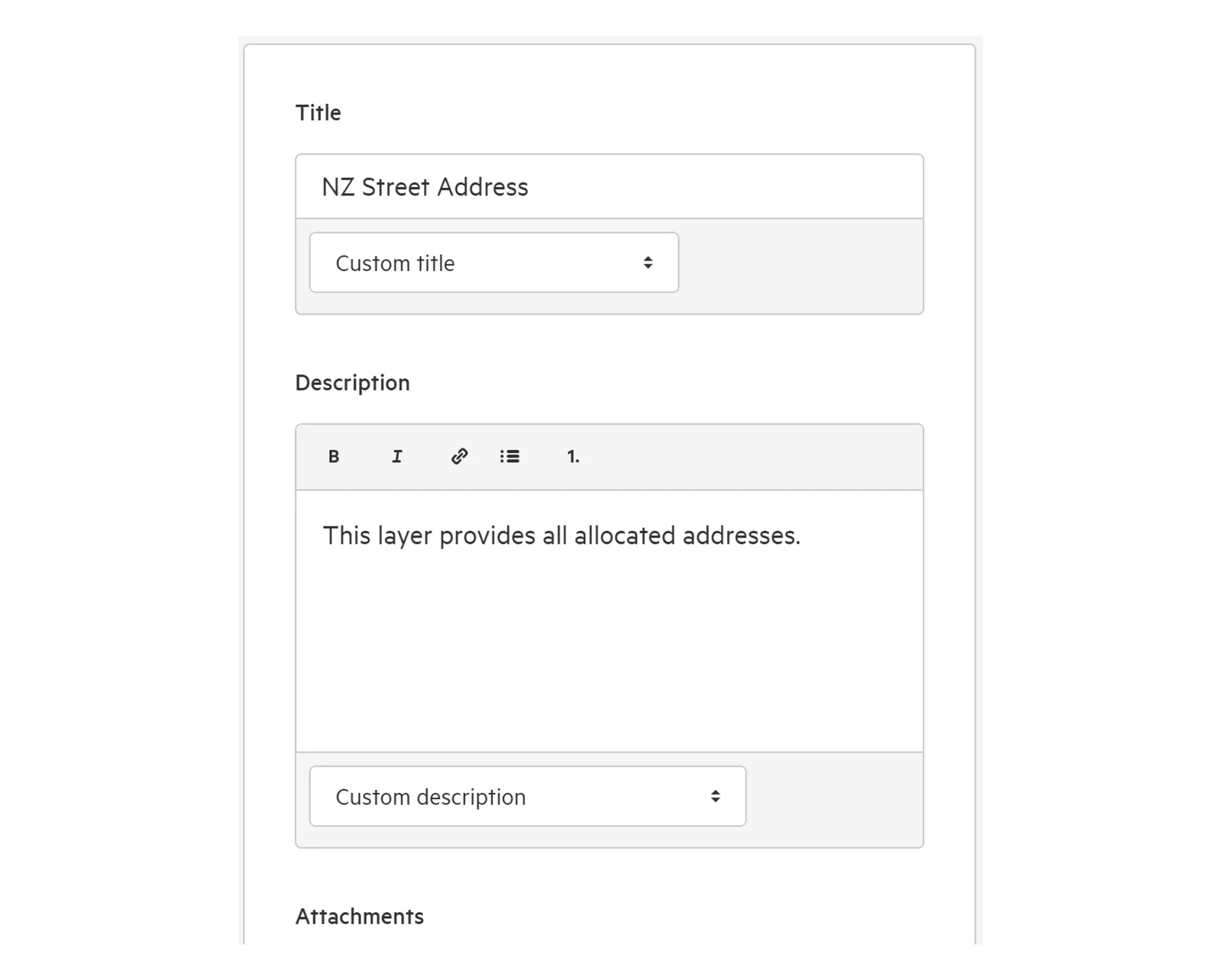
Add and edit descriptive information as needed
-
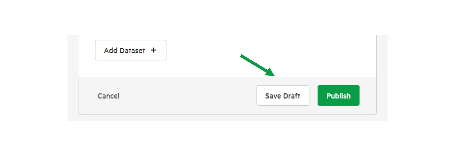
Select ‘Publish’ or ‘Save Draft’
You can publish your changes immediately, or save them as a draft.
What descriptive information can I add?
Section titled “What descriptive information can I add?”Rename your dataset, or keep the default provided by Koordinates.
If the dataset has XML metadata, you can choose Custom title to keep your own title, or Title locked to XML Metadata to always use the title from the metadata.
Description
Section titled “Description”A text field to describe the dataset.
If the dataset has XML metadata, you can keep a custom description, or lock it to the description in the metadata.
Attachments
Section titled “Attachments”Add an attachment to a layer or table. Learn more about adding attachments.
You have the option of adding tags to your data, to assist with search optimisation.
If the dataset has XML metadata, you can keep custom tags, or lock them to the tags in the metadata.
Owning group
Section titled “Owning group”On a site, this is the group that owns the data, and is responsible for publishing it.
Category
Section titled “Category”Choose the category the dataset belongs to. This will help users find your dataset, and will be available for them to use as a filter as they browse for data.
Licence
Section titled “Licence”Choose a licence from the list of licences available on your site. If you choose Creative Commons license, you’ll also choose the version, whether to allow commercial use and modifications and, for version 3.0, the jurisdiction. For more, see Understanding licensing.
Primary key
Section titled “Primary key”For vector layers and tables, add a primary key, if applicable. If you are unsure of whether you should edit this field, leave it unchanged.
Elevation
Section titled “Elevation”For vector layers and tables, set an attribute to represent the elevation (or ‘Z’) field for your data.
Metadata
Section titled “Metadata”Add, replace or edit the dataset’s XML metadata from the Metadata section on the right of the Details tab. Learn more about adding XML metadata.
Include in catalogue services
Section titled “Include in catalogue services”For layers and tables, choose whether to include the dataset in your site’s catalogue services.
Access
Section titled “Access”Decide who can view and download your data in the dataset’s Access tab.
Learn more about permissions.