
Learn more about the map
When you add data, it appears in the map viewer, and in the layer list beside the map.
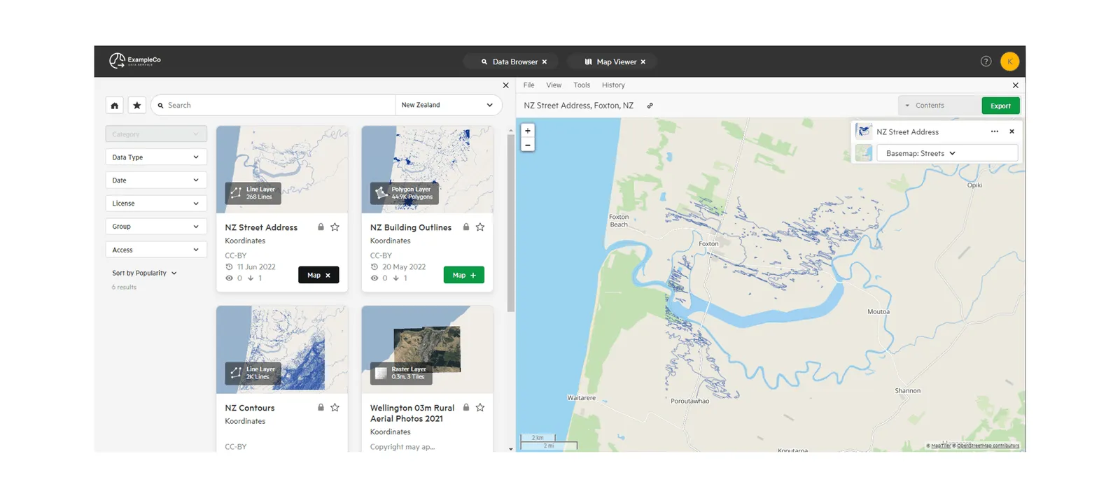
There are two ways to zoom the map: manually, or to a preset area.
Manual zoom
Section titled “Manual zoom”Use the + and − buttons on the map to zoom in or out one step at a time. You can also use the scroll wheel on your mouse.

The scale line in the corner of the map shows the current scale.

Zoom to a preset area
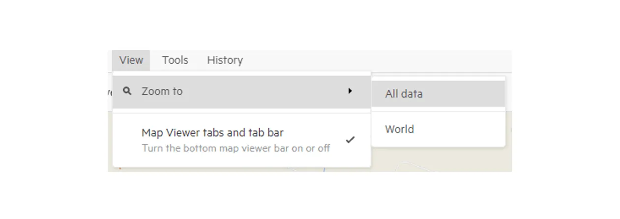
Section titled “Zoom to a preset area”In the map viewer’s View menu, select Zoom to, then:
- All data: zooms to fit all the layers on your map; or
- World: zooms out to the whole world.
Basemaps
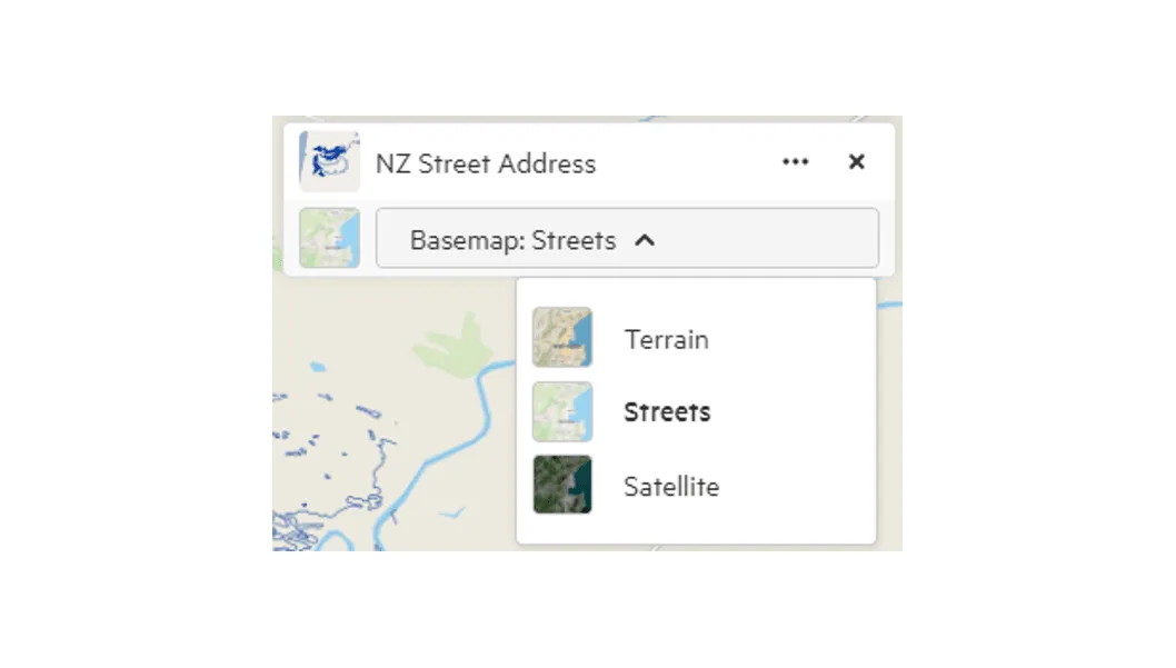
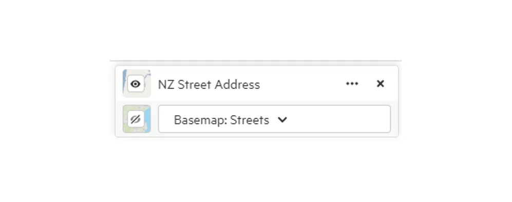
Section titled “Basemaps”In the layer list, use the Basemap selector to choose a basemap. The basemaps available depend on the site and your account. They often include streets and terrain.
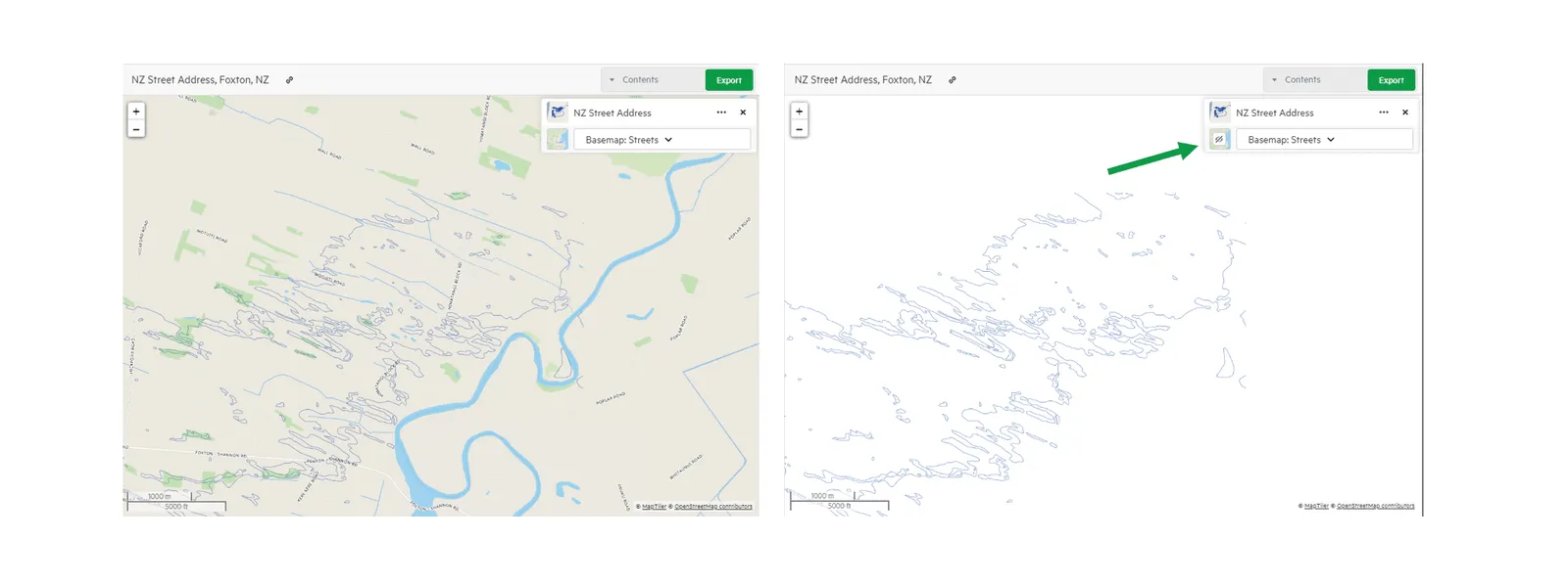
To hide the basemap, select its thumbnail. Select it again to show it.
Working with layers
Section titled “Working with layers”You can:
- drag layers up and down the list, which changes the order they’re drawn on the map (useful for overlapping layers); and
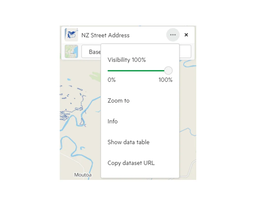
- open a layer’s menu (…) for more options.
Visibility (transparency)
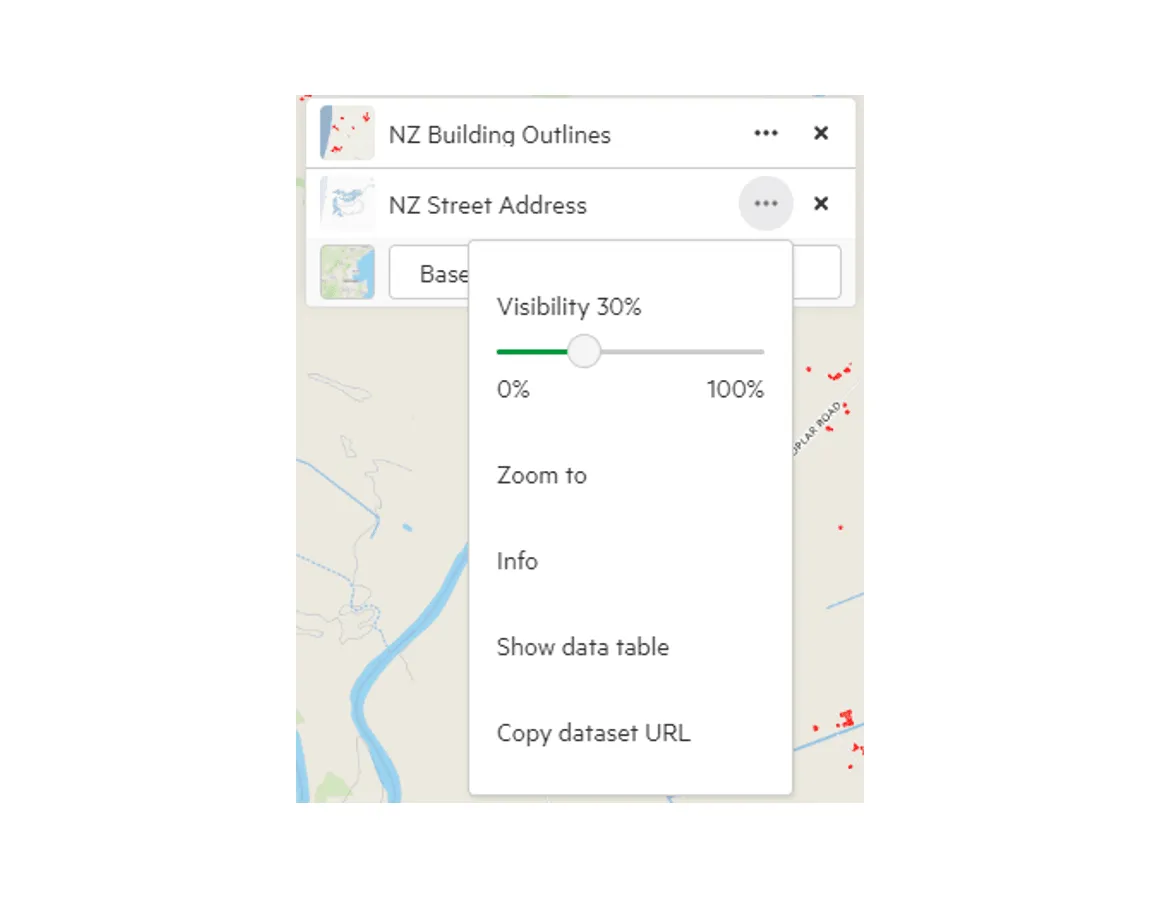
Section titled “Visibility (transparency)”Use the Visibility slider at the top of the layer’s menu to make the layer more or less transparent. The layer and its icon in the layer list update as you move the slider. The slider goes from 10% to 100%, so a layer never disappears completely; it stays on your map and in your export.
Zoom to
Section titled “Zoom to”Zooms the map to fit the whole layer.
Note that other layers on your map may fall outside the new view.
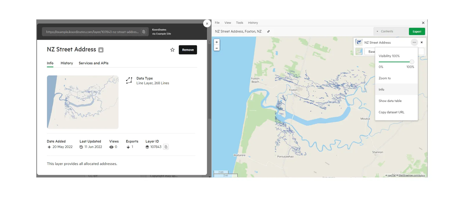
Opens the layer’s data sheet.
Show data table
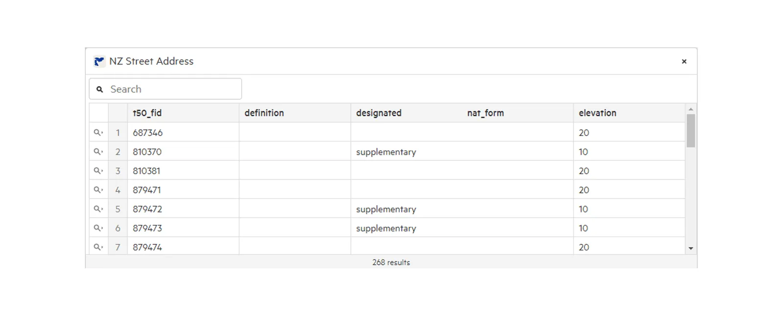
Section titled “Show data table”Opens the layer’s data table, so you can view the data behind it. For tiled layers, this is Show tiles table. See Explore with the data table and Using the tiles table.
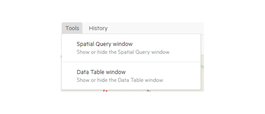
You can also open it from the Tools menu: select Data Table window.
Copy dataset URL
Section titled “Copy dataset URL”Copies a link to the layer. Opening the link shows the layer’s data sheet and adds it to the map viewer.
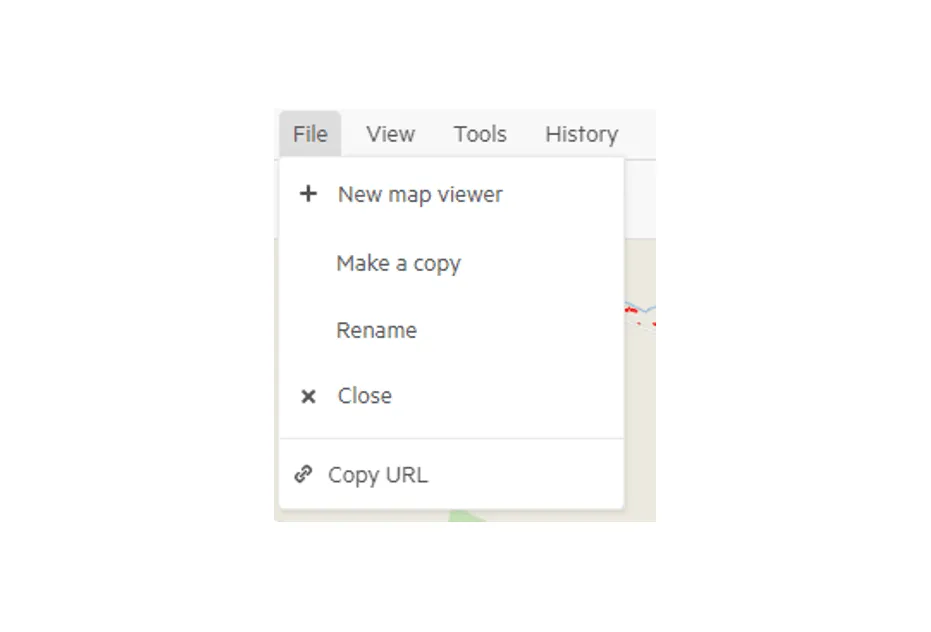
This only covers one layer. To share all the layers on your map, open the File menu and select Copy URL.
Spatial Query window
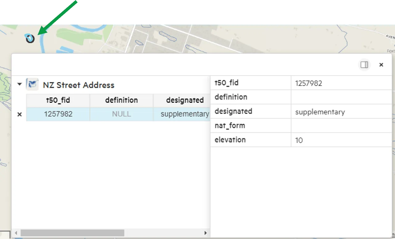
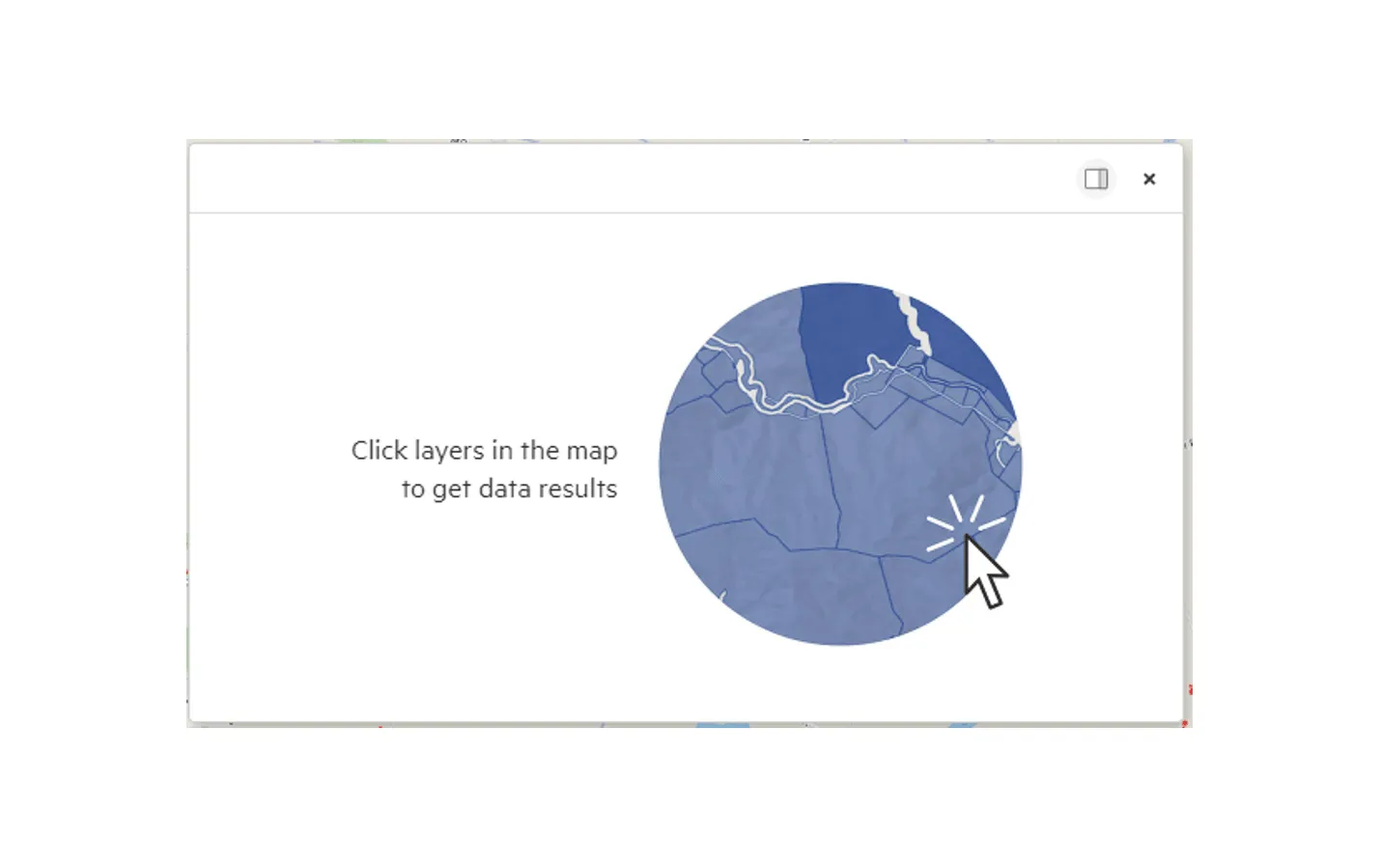
Section titled “Spatial Query window”To find out more about a feature, select it on the map. If there’s data at that location, the Spatial Query window opens, showing the feature’s details (sometimes called attributes). See Query the map.
You can also open it from the Tools menu: select Spatial Query window.
Several map viewers
Section titled “Several map viewers”You can have several map viewers open, each as a tab at the bottom of the screen. Use the Viewers menu to switch between open map viewers or close them all.
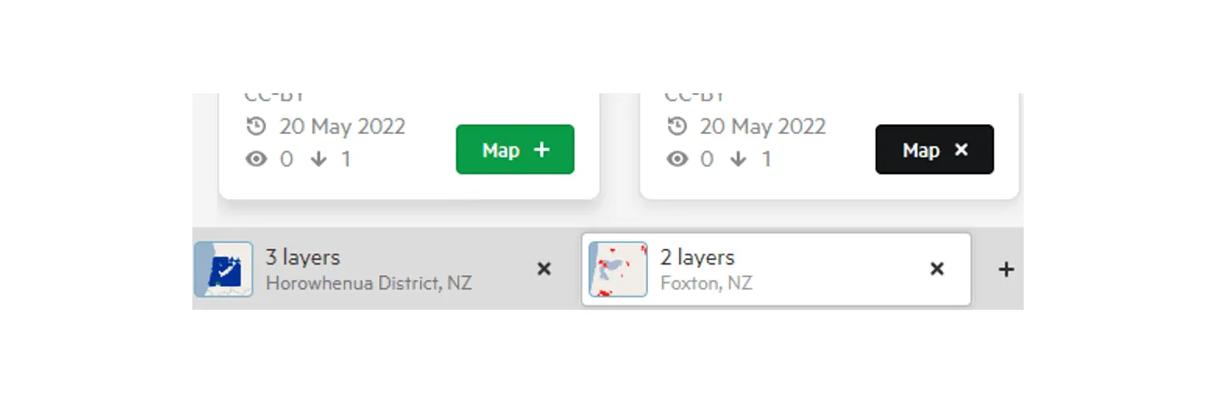
To hide or show the tabs, open the View menu and select Tab bar.
For measuring, Quick PDF, contours and address search, see Map viewer tools.