
The layout of a Koordinates site
A Koordinates site is a browser-based tool for finding, viewing and managing data from a growing number of providers around the world.
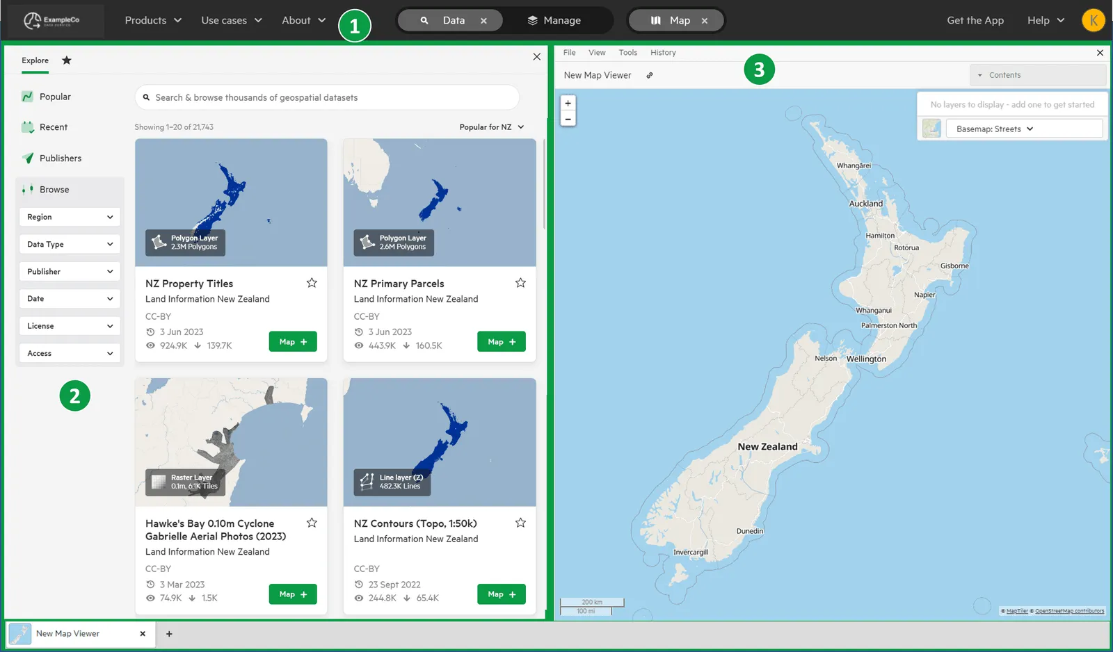
A Koordinates site has three main areas:
- Top navigation
- Data browser (or, for administrators, the Manage pages)
- Map viewer or table viewer
Top navigation
Section titled “Top navigation”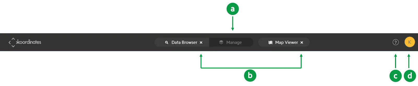
From the top navigation, you can:
a) switch between the data browser (Data) and the Manage pages. You only see Manage if you can manage data or administer the site. See Summary of user roles.
b) show or hide the data browser (Data) and the map viewer (Map).
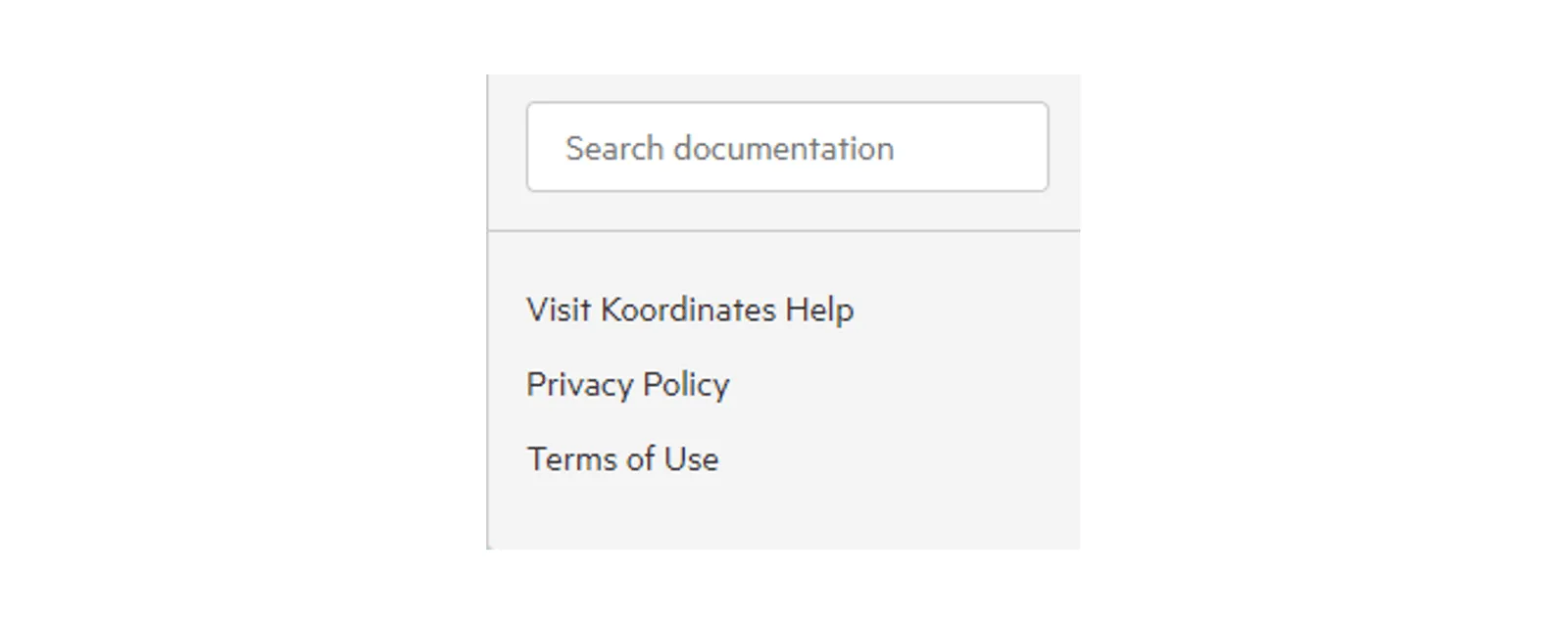
c) open the help menu, to search the Koordinates help documentation and find the Privacy Policy and Terms of Use.
d) open your user menu, by selecting your profile picture or initial. If you’re not signed in, you’ll see Log in instead.
Your user menu has these options:
- Manage your Koordinates Profile
- API Keys
- Exports: your export history
- Pro User Billing, if you’re an AI Pro User (or View Plans & Pricing on koordinates.com, if you’re not)
- Log out
More information:
Sign up and manage your Koordinates ID
Data browser
Section titled “Data browser”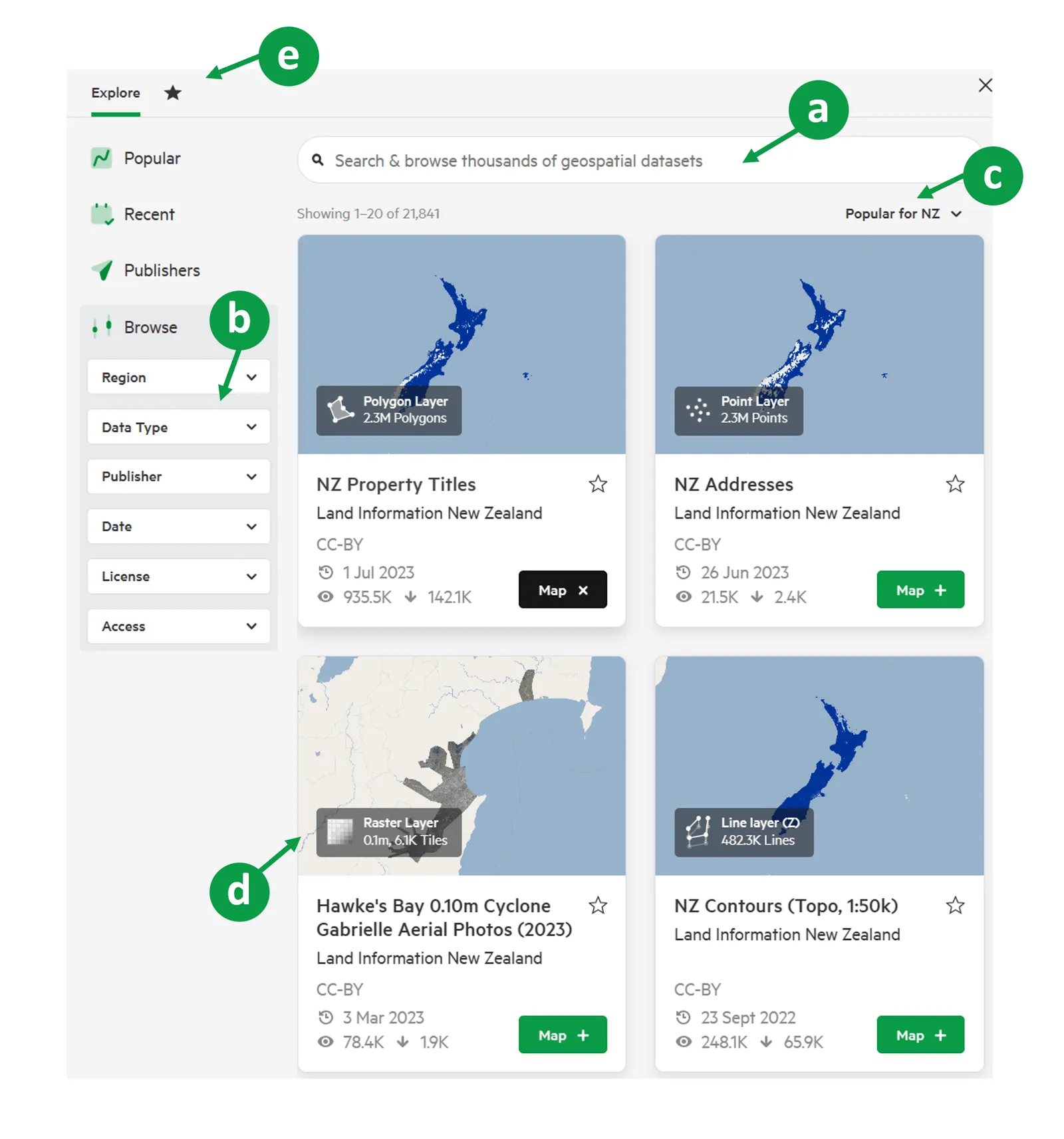
From the data browser, you can search, filter and sort data.
a) The search bar starts returning results as you type, and shows the datasets you have access to.
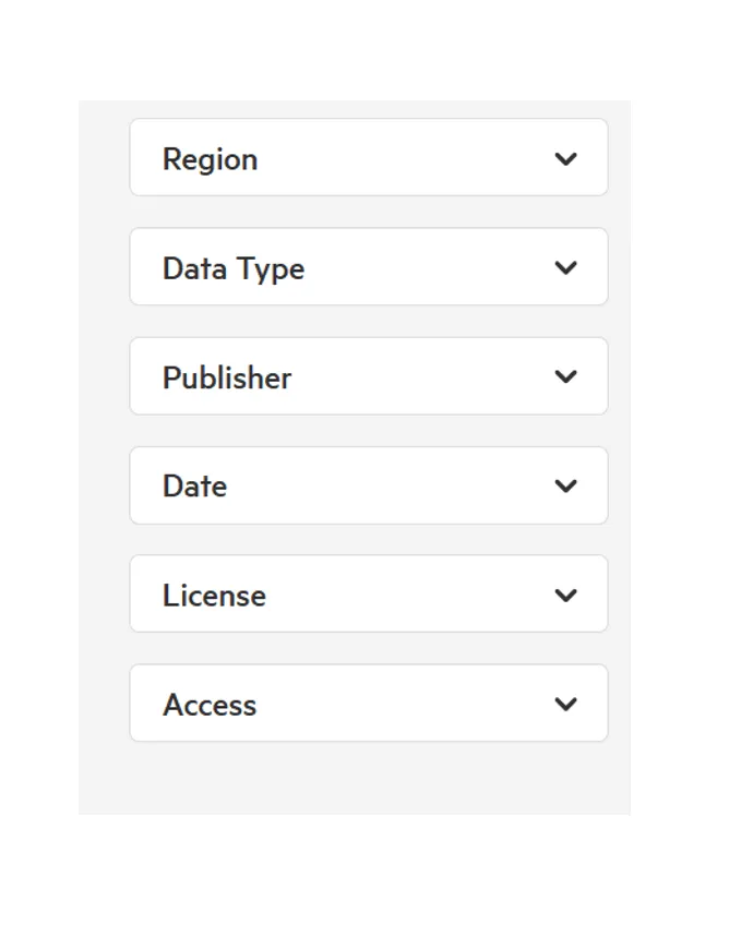
b) Filter the results with filters such as Region, Data Type, Publisher, Date, License and Access. Which filters you see depends on the site and on what you’re browsing. For example, Category appears on sites, and Group appears when the results include groups.
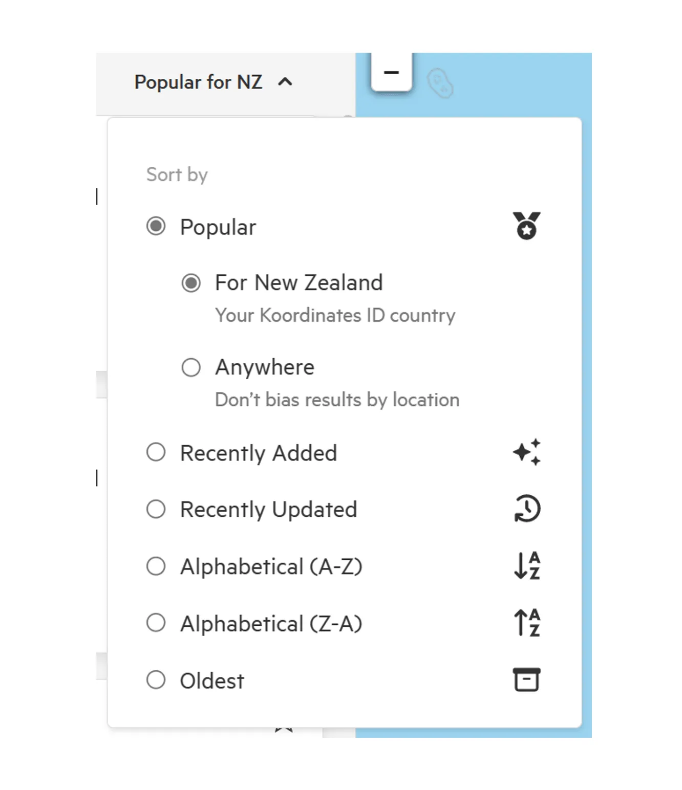
c) Sort the results by Popular, Recently Added, Recently Updated, Alphabetical (A-Z), Alphabetical (Z-A) or Oldest. Sorting isn’t available while you’re searching.
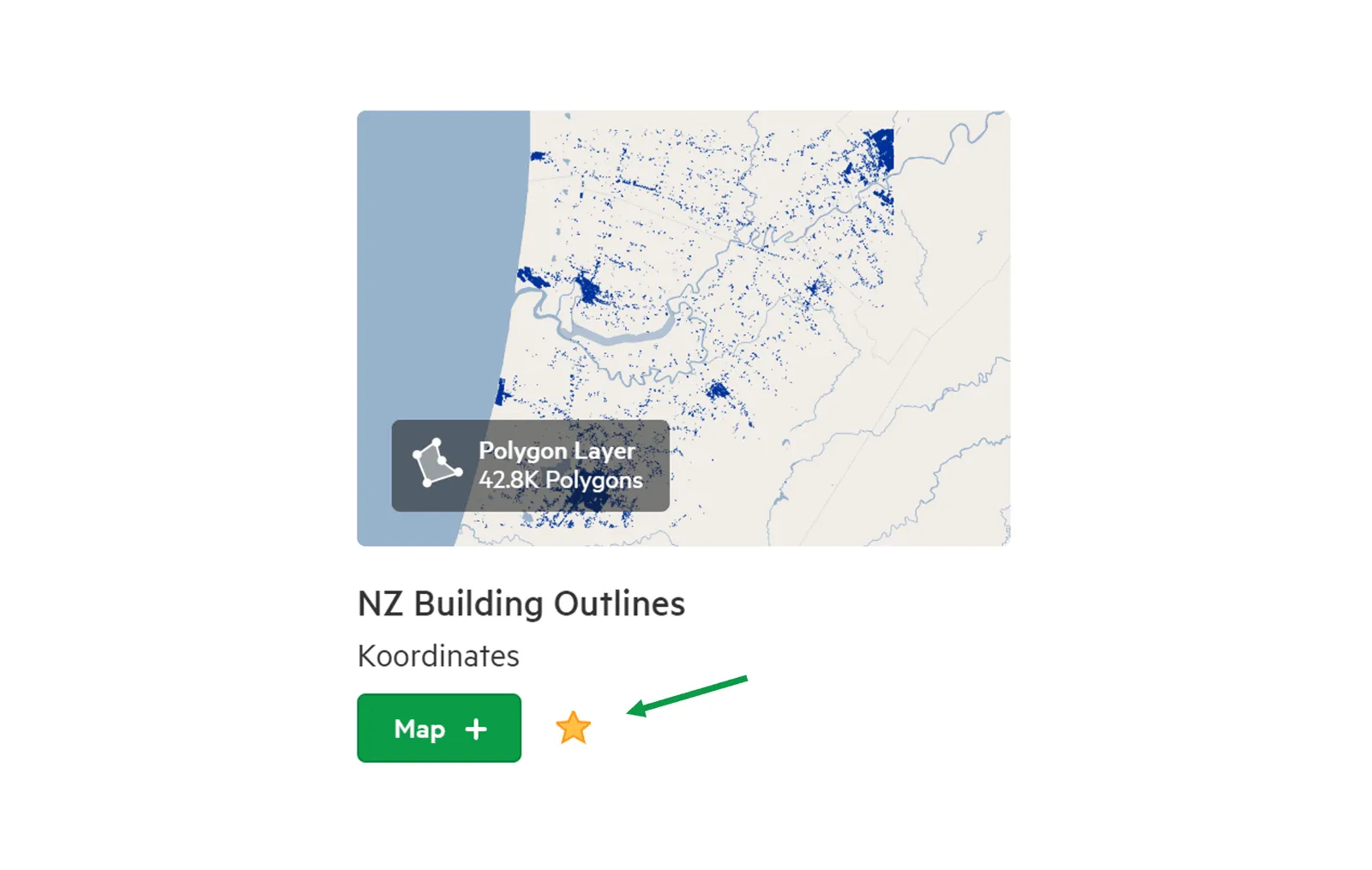
d) Each result is shown as a card with key information about the dataset. Select Map on a card to add the dataset to the map viewer, or select the star to add it to your starred items.
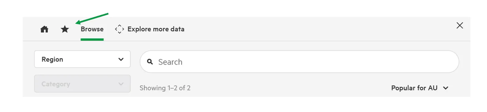
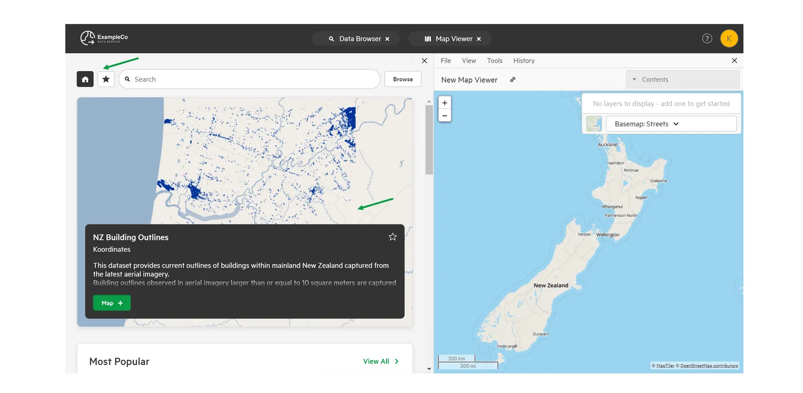
e) On a site, the home icon takes you back to the site’s home page. The star icon shows your starred items, if you’re signed in.
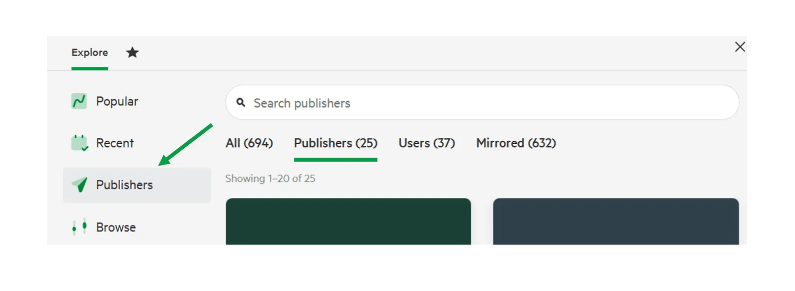
To find data from a particular publisher, use the Publisher filter. On koordinates.com you can also browse Publishers. For more, see Find data by publisher.
Dataset sheet
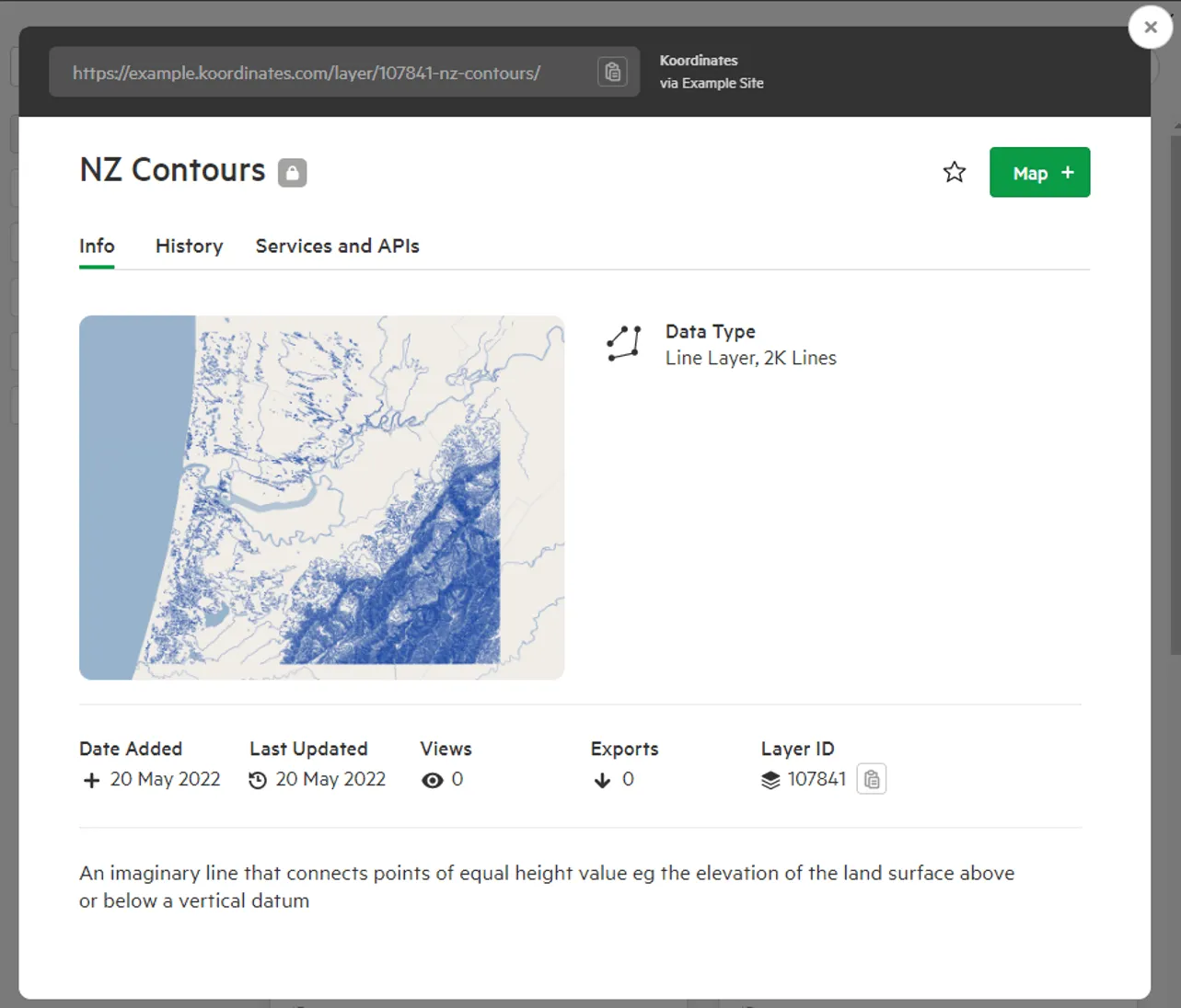
Section titled “Dataset sheet”Select a dataset to open its sheet. The Info tab has more information about the dataset, including:
- Data type
- Details, such as when it was added and last updated
- Licence
- Tags
- Metadata
- Technical details
- A data sample
Depending on the dataset, the sheet can also have Contents (for sets), History and Services and APIs tabs.
More information:
Home page
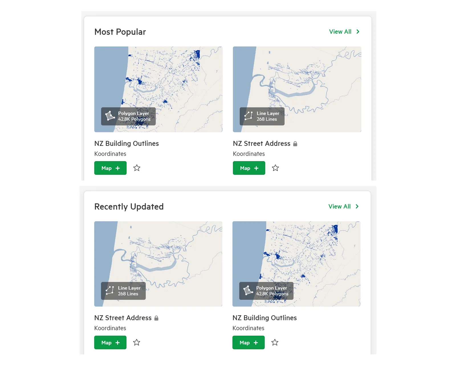
Section titled “Home page”A site’s home page shows its featured datasets, and its Most Popular and Recently Updated datasets.
Starred items
Section titled “Starred items”Datasets you’ve starred appear in your starred items, which is useful for data you use often.
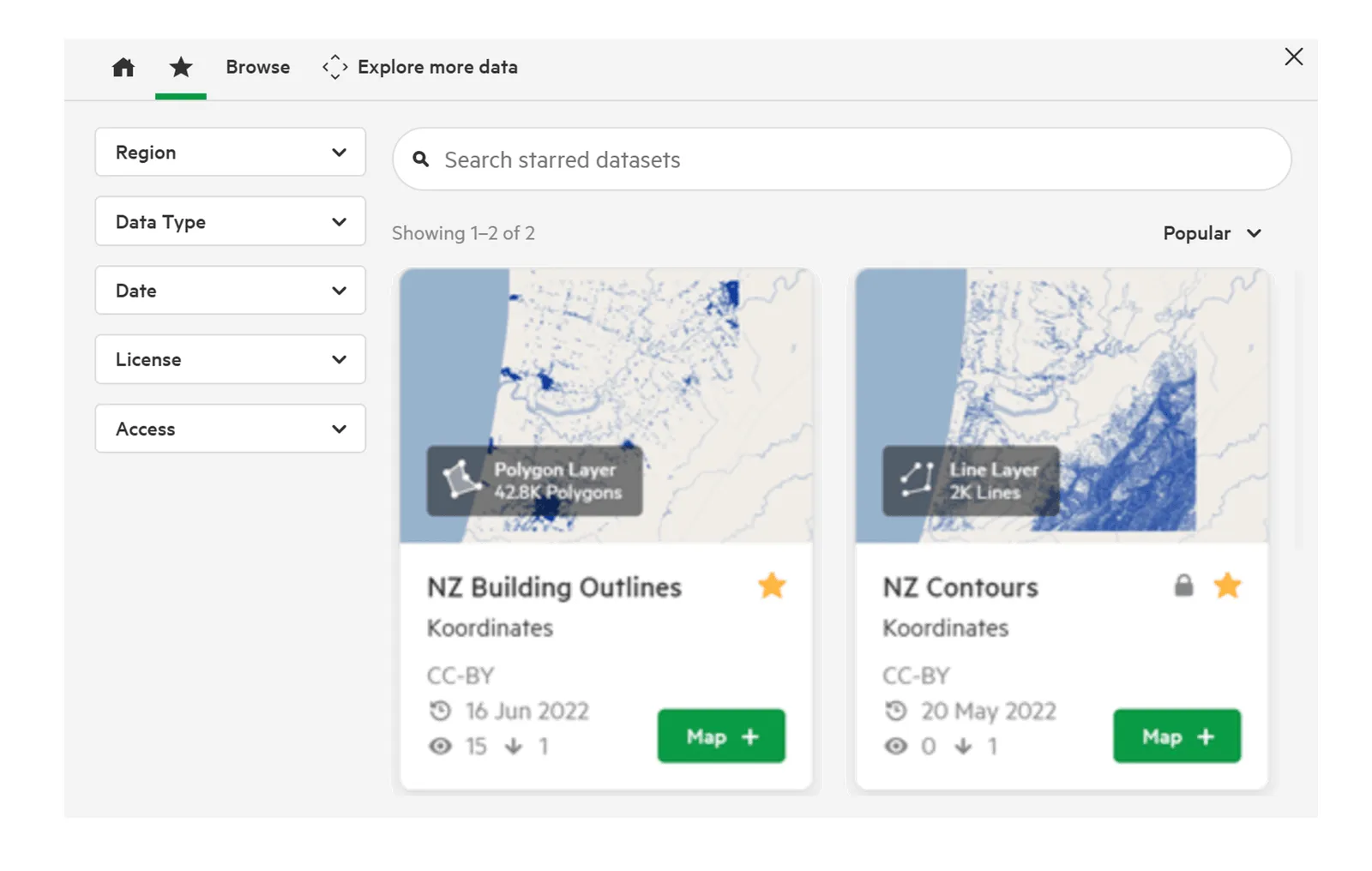
To star a dataset, or remove it from your starred items, select the star next to its title on the card.
Manage menu
Section titled “Manage menu”The Manage menu in the top navigation is only available to users who can manage data or administer the site. It shows the options available to you, which can include:
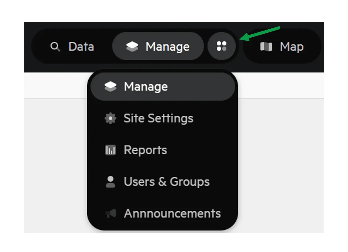
- Manage: upload, edit and manage the data on the site.
- AI & MCP Tools: set up AI and MCP connections to Koordinates.
- Site Settings: change the site’s branding, access, licences and categories.
- Reports: view the site’s reports, including usage and access history. Site administrators who can’t see Reports see an Exports Report instead.
- Users & Groups: review, add or remove users, and manage groups.
- Announcements: add or update site-wide announcements.
- Usage & Billing: see your site’s usage and manage its subscription.
- Support: view your support requests.
More information:
Map viewer and table viewer
Section titled “Map viewer and table viewer”Map viewer
Section titled “Map viewer”The map viewer shows the data you’ve added from the data browser, and lets you interact with it.
a) To show zoom buttons on the map, select View > Show zoom controls.
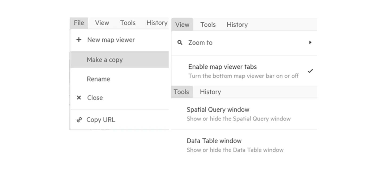
b) The menus at the top of the map viewer include File > Make a copy, View > Zoom to > All data, and Tools > Spatial Query window.
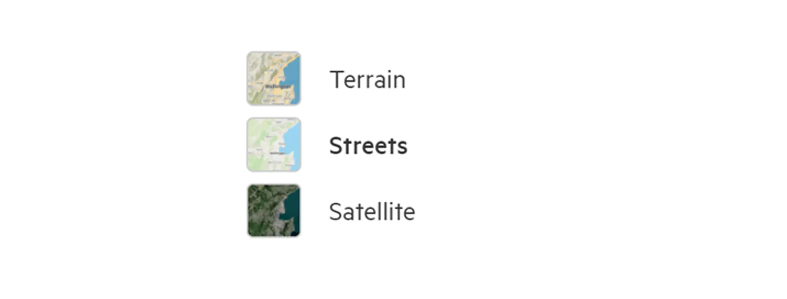
c) In the list of layers, select a layer’s thumbnail to show or hide it. Open the layer’s options to change its Visibility (transparency) or open its data table. Use the Basemap selector to change the basemap.
d) You can have several map viewers open at once, and switch between them with the tab bar at the bottom. To turn the tab bar on or off, select View > Tab bar.

Table viewer
Section titled “Table viewer”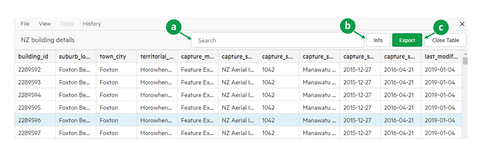
When you view a non-spatial table, the table viewer opens instead.
a) Search for data within the table.
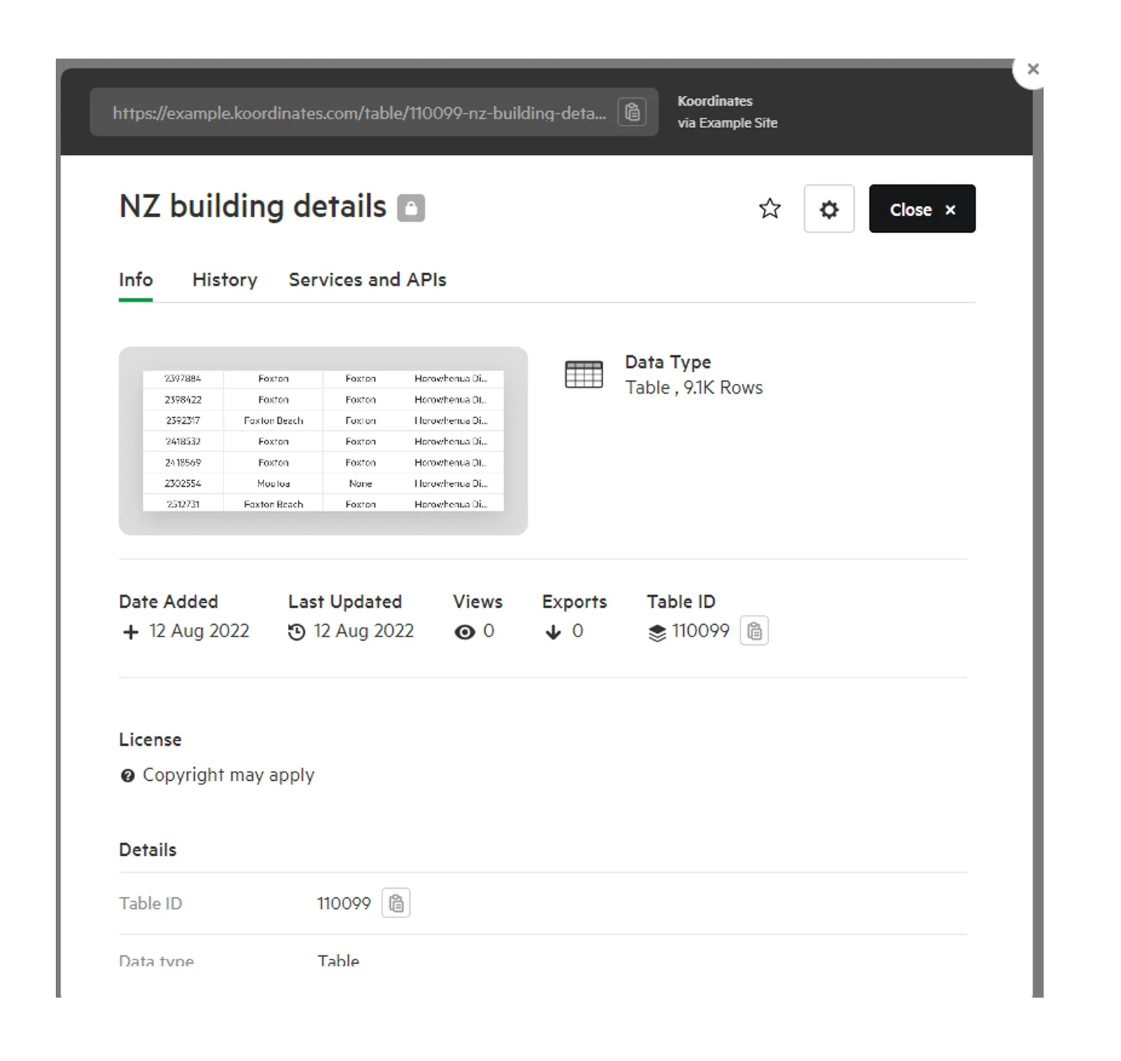
b) Select Info to open the table’s sheet for more information about the data.
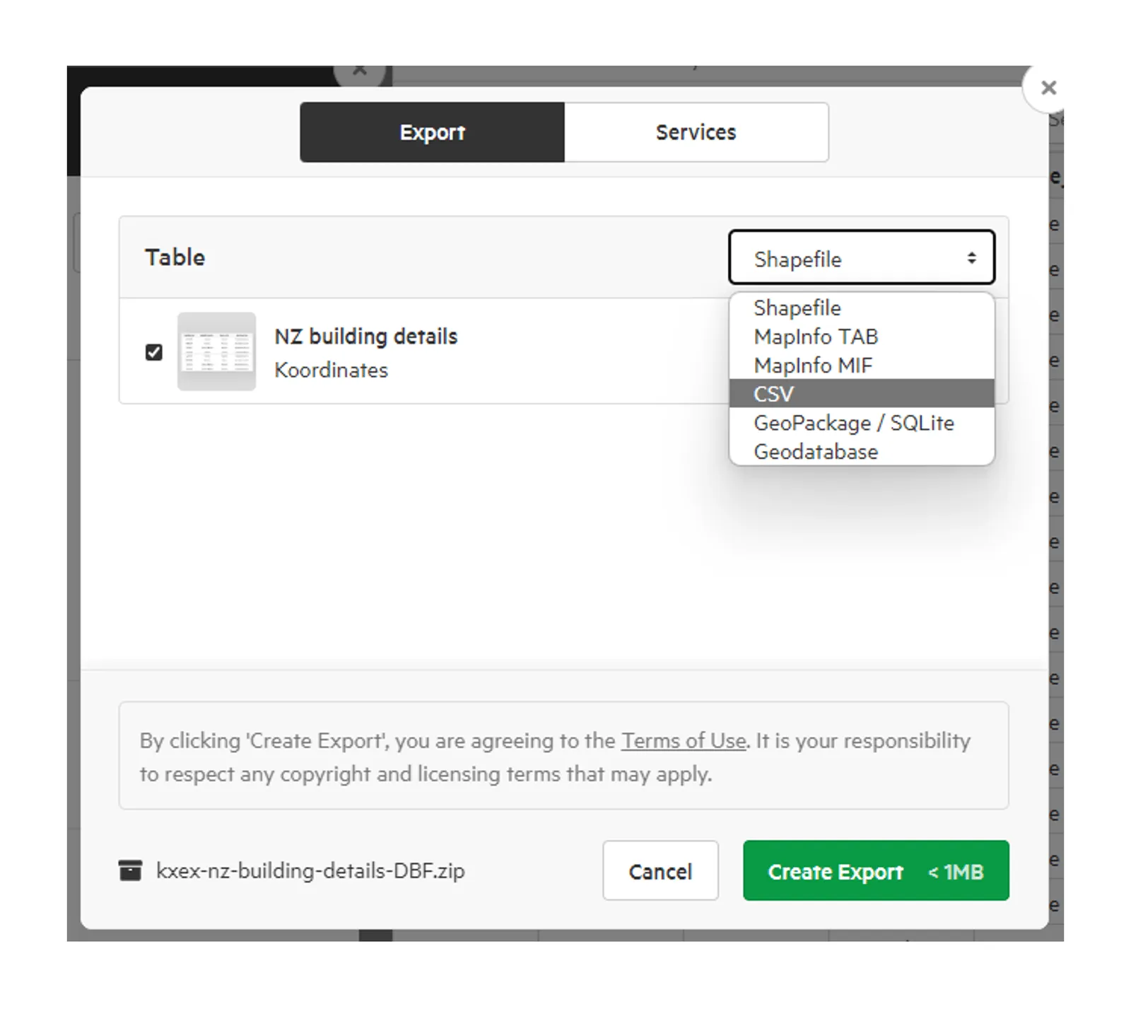
c) Select Export to export the table.
More information: