
Find and use web services and APIs
Koordinates offers a range of web services and APIs for more technical users. They let you bring data published on a Koordinates site straight into your application or GIS, so you don’t have to download and import it again each time it changes.
Find a service for a dataset
Section titled “Find a service for a dataset”-
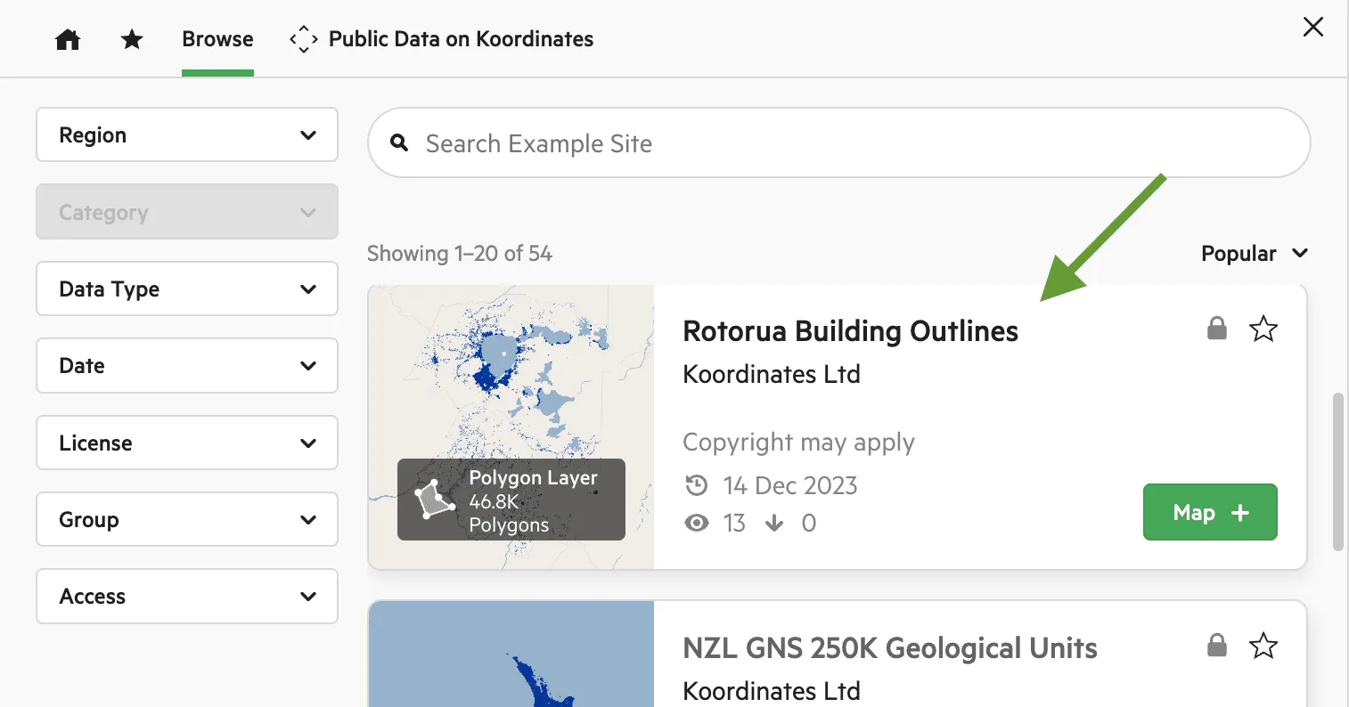
Click the thumbnail or title of the dataset you want.
-
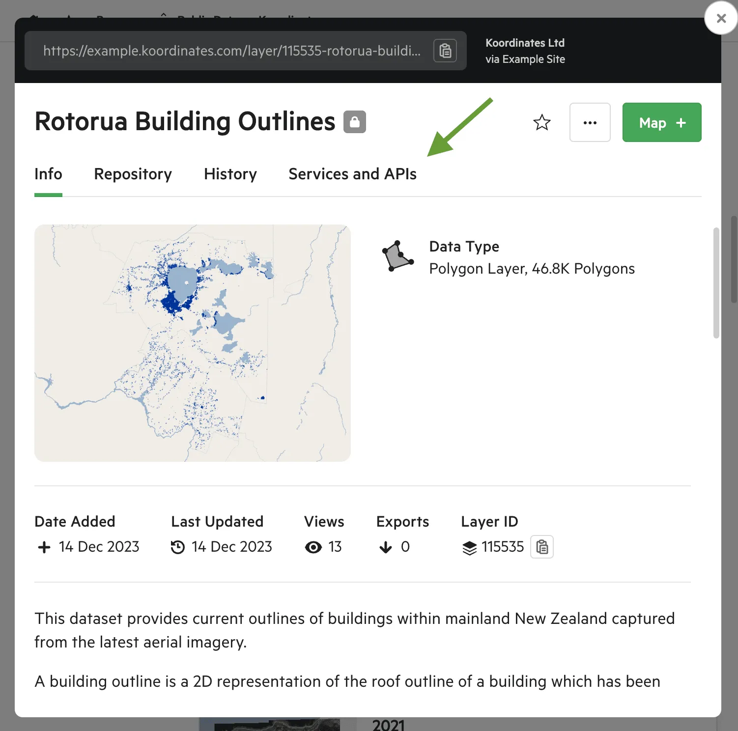
Open the Services and APIs tab. It lists the services and APIs available for that dataset. Select one to see its details.
-
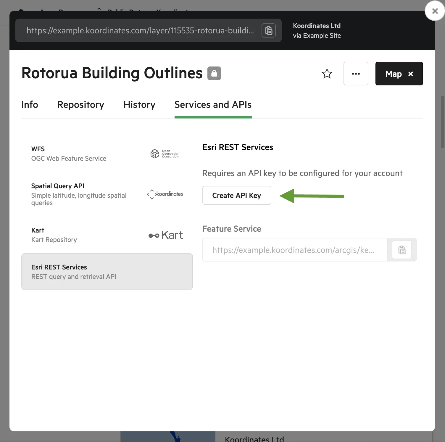
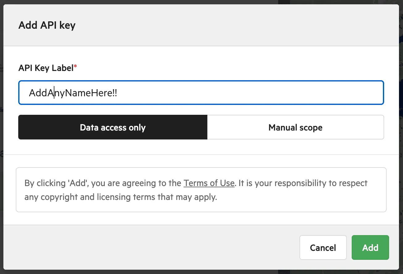
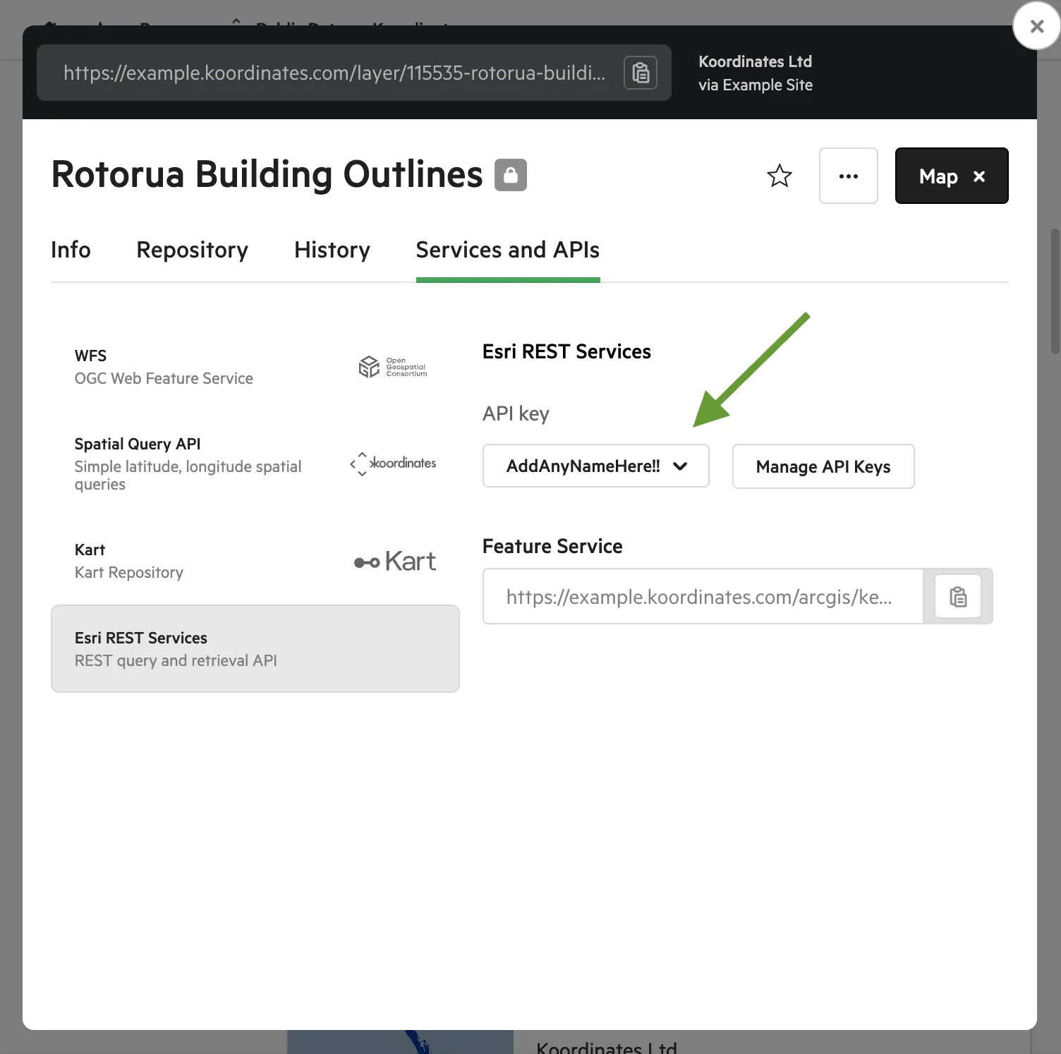
If the service needs an API key, you’ll be asked for one. An API key lets an external application, such as your GIS, access your account without your password. Click Create API Key to make one, then choose it from the list.
-
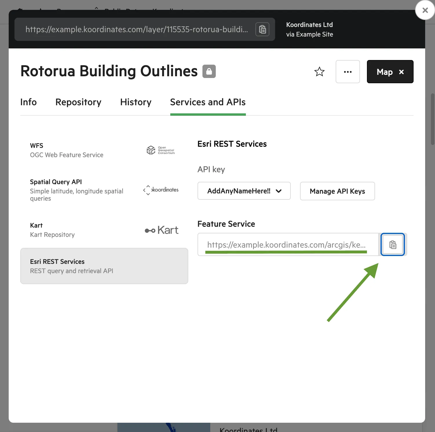
Copy the URL and paste it into your map, app or desktop GIS. Some services are rate limited.
Services and APIs on Koordinates
Section titled “Services and APIs on Koordinates”Which services you see depends on the type of dataset and on which services the site makes available.
OGC Web Feature Service (WFS)
Section titled “OGC Web Feature Service (WFS)”Koordinates supports WFS 1.x and 2.x. WFS is a common standard for exchanging data in the GIS sector, including for geoprocessing and desktop GIS. It lets you extract vector and table datasets from a Koordinates site.
Use a WFS service in QGIS
Section titled “Use a WFS service in QGIS”To bring a layer into QGIS as vector features rather than as a map image, copy the WFS address from the layer’s Services and APIs tab. In QGIS, open the Data Source Manager from the Layer menu, choose the WFS / OGC API - Features tab, create a New connection and paste the address as its URL. The menu names vary a little between QGIS versions.
WFS Changesets
Section titled “WFS Changesets”For versioned vector and table datasets, the WFS Changesets service returns the changes made between two dates, using WFS 1.x or 2.x. Applications can use it to keep a local copy of a dataset up to date incrementally, which is especially useful for datasets that are updated regularly. See Use changesets via WFS.
XYZ and OGC Web Map Tile Service (WMTS)
Section titled “XYZ and OGC Web Map Tile Service (WMTS)”Tile services let you add a dataset or set to a web map or GIS as map tiles, in Web Mercator or NZTM. For vector datasets and sets, administrators can define one or more cartographic styles, each published as its own tile service. See Use Koordinates tile services in JavaScript clients.
WMTS links always contain 1.0.0, for example /wmts/1.0.0/layer/LAYER_ID/WMTSCapabilities.xml. That is the version of the OGC WMTS standard, which has only one version, so it never changes. It is separate from the 1.x in the Koordinates API address (/services/api/v1.x/). If your software won’t accept the WMTS link, use the XYZ tile URL from the layer’s Services and APIs tab instead.
Vector tiles
Section titled “Vector tiles”Vector layers can also offer vector tile endpoints (MVT with TileJSON, PMTiles, ArcGIS Vector Tile Service and MBTiles). See Vector tile (MVT) services.
Query API
Section titled “Query API”The Query API answers simple location questions, such as which features are near a point, or what the value of a raster or grid is at a point. There are separate queries for vector datasets, rasters and grids, and sets. See Introducing the Query API.
Catalogue Service for the Web (CSW)
Section titled “Catalogue Service for the Web (CSW)”Koordinates supports the OGC Catalogue Service for the Web (CSW), a common open standard for sharing XML metadata between data catalogues.
For datasets stored in Kart, the Kart service gives you SSH and HTTPS clone locations, so you can clone the data with Kart, a version control tool for geospatial data.
Esri REST services
Section titled “Esri REST services”Esri-compatible REST feature services let you use vector and table datasets in Esri software and other applications that support the Esri REST standard. They’re available on Team Cloud, Business Cloud, Enterprise plans, and only work once your site has turned them on.
Which service lets you change symbols?
Section titled “Which service lets you change symbols?”How a layer looks in your GIS depends on how you connect to it:
- WFS and Esri-compatible REST feature services bring the vector features themselves into your GIS, so you can change symbols and analyse the data.
- WMTS and XYZ tile services deliver pre-drawn images, so you can’t change symbols or analyse the features in your GIS. Layers added with the Koordinates QGIS plugin come in this way.